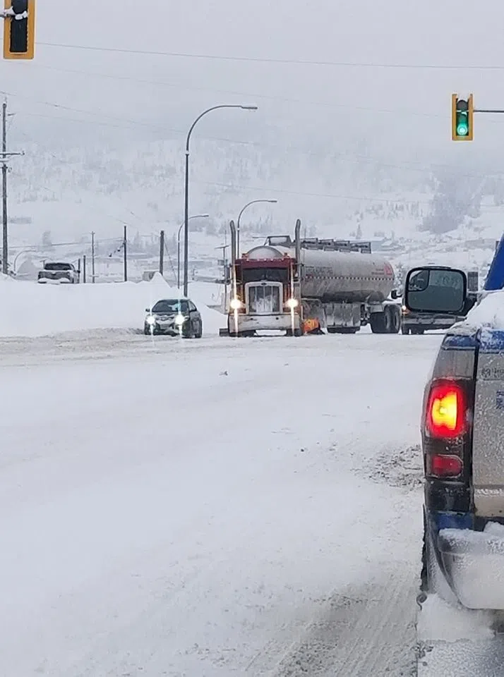
Snow storm to hit Cariboo hard, graze Kamloops
-
Share on Facebook
-
Share on Twitter
- Copy Link
KAMLOOPS — A huge dump of snow is expected to fall on the Central Cariboo starting Tuesday night and Kamloops may not escape the white stuff unscathed.
Environment Canada Meteorologist Doug Lundquist says the 100 Mile House, Williams Lake and Quesnel areas will get hit the hardest with anywhere from 30 to 50 centimetres.
“About 15 to 25 centimetres tonight and another 15 to 25 on Wednesday,” he says. “20 to 30 in the Prince George area. Off toward Blue River and the road to Alberta maybe 10 to 20. It’s going to really depend where that bullseye decides to land. It often doesn’t land exactly where we forecast it.”
Lundquist adds it’s all thanks to “the collision of air masses as we often have this time of year. There’s a low pressure system developing to kind of get it all clashing.”