Sunshine, heat about to break with storm systems en route to Kamloops, Cariboo

Jun 20, 2018 | 11:27 AM

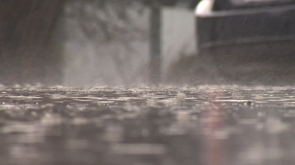
KAMLOOPS — The sunshine and dry heat experienced by the B.C. Interior in the past few days is on its way out.

Severe thunderstorm watches are out throughout the Southern Interior this morning. The watches extend from the Cariboo through Kamloops and into the Nicola and Shuswap.

Environment Canada’s Lisa Erven says storm systems are headed to the Cariboo region, from Prince George all the way down to Cache Creek, and they have the potential to be violent.

“In those regions, the ingredients for severe storms are there,” said Erven. “The main hazards would be heavy downpours where we could see up to 25 millimetres of rain in an hour, and also some strong wind gusts up to about 90 kilometres per hour.”

Kamloops is forecast to receive storms as well, but Erven says they likely won’t be as severe as further north.

“Just given the ingredients that are present in those areas, we’re expecting rainfall rates to be a little bit less, so only about 10 to 15 millimetres per hour possible in those regions, and lower wind gusts, only about 60 kilometres per hour,” said Erven.

Erven says afternoon showers or storms should last the rest of the work week, before breaking up over the weekend.

“We’re looking at daytime heating being one of the triggers to get these cells going,” said Erven. “So we’re looking at clouds developing this afternoon and the showers and potentially thunderstorms starting soon thereafter and continuing into the evening hours.”

“With the ridge of high pressure moving eastward and our atmosphere destabilizing, the next couple of days we can anticipate seeing afternoon shower activity. That includes today, Thursday and even into Friday, when we’ve got a risk of showers and thunderstorms in the forecast.”