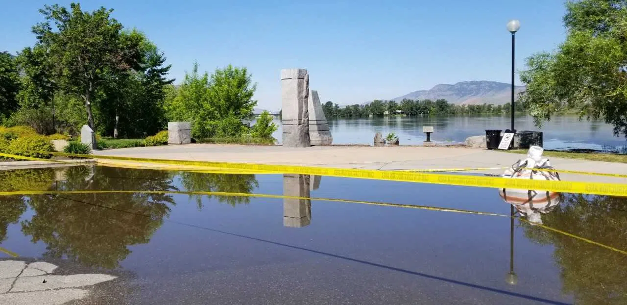
High streamflow advisories in effect for North and South Thompson Rivers

May 22, 2018 | 3:15 PM

KAMLOOPS — Flood concerns continue to be a reality for parts of B.C., including Kamloops.

In its bi-weekly teleconference Tuesday, B.C.’s River Forecast Centre said there are no longer any flood warnings in B.C. though the Shuswap River is under a flood watch and the North and South Thompson Rivers as well as the Salmon River are under high streamflow advisories.

“As we get to the confluence of the North and South Thompson Rivers through Kamloops, we do see the potential there with the rising tributary flows on both sides through this week,” said B.C. River Forecast Centre head Dave Campbell. “The river level is on the order of a half a metre rise as we come into the weekend.”

Campbell said that’s still a half-metre less than 2012 levels, adding “at this point we’re not expected to reach 2012 levels, though the rainfall will play a key role.”

He added he isn’t expecting the South Thompson to peak for another seven to 10 days, perhaps even two weeks, “whereas the North Thompson should reach its peak this week unless we get significant rain. It could also be the peak on Kamloops Lake, too.”

In other parts of the province the flood risk is declining as the snowpack continues to decline due to rapid snow melt.

Executive Director Chris Duffy with Emergency Management BC said the declining flood risk has meant the number of residences under evacuation order continues to decrease, noting there are currently 40 evacuation orders in place province-wide affecting 700 properties, and 68 evacuation alerts affecting 6,500 properties.

Minister of Agriculture Lana Popham joined the teleconference to remind British Columbians that government support is available for farming and ranching families who need it. That information is accessible through the ministry’s website.