Little snow forecast, colder temperatures expected next week

Nov 30, 2018 | 2:21 PM

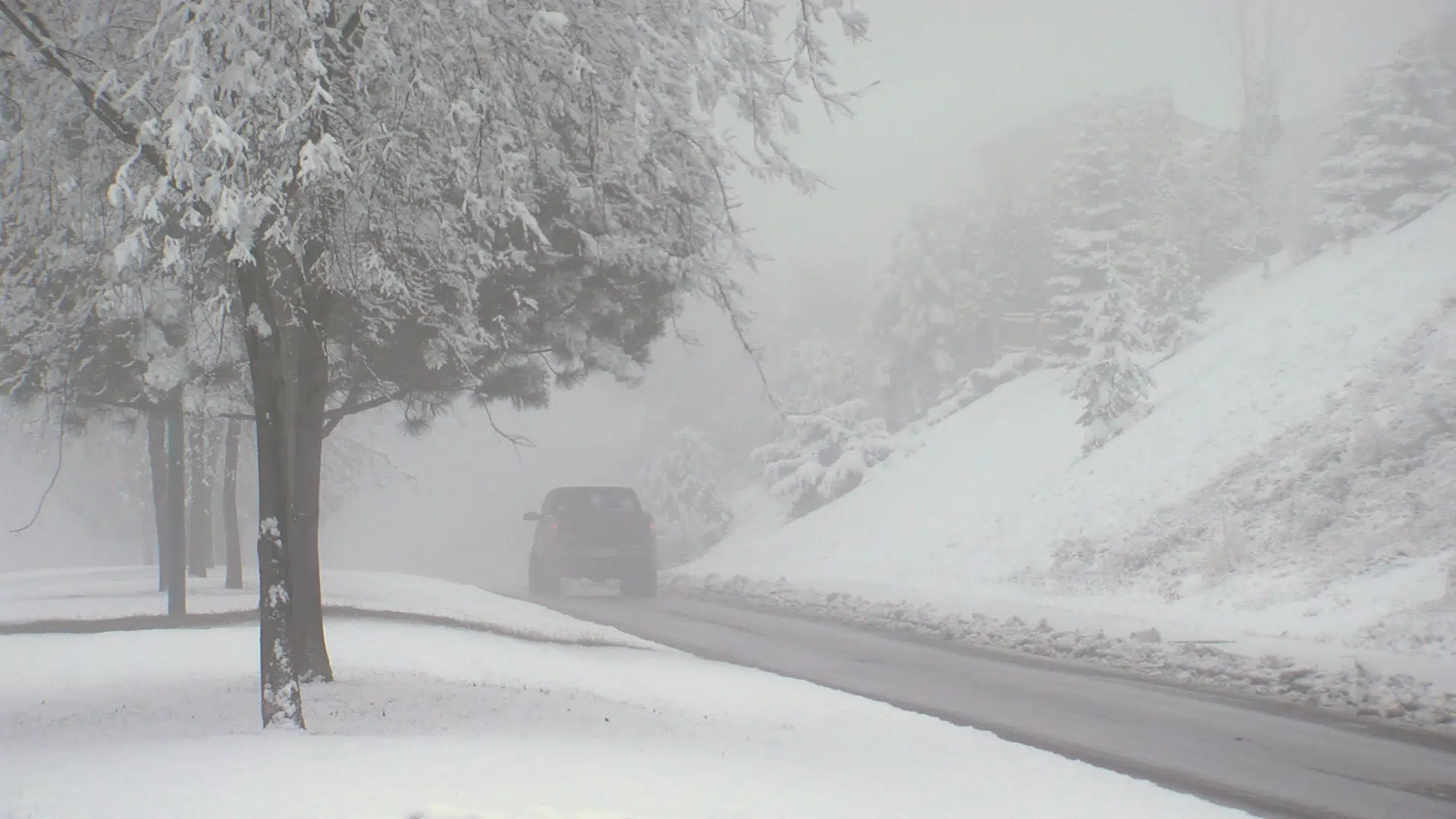
KAMLOOPS — Following Thursday’s first significant snowfall of the year, there were only a few flurries and showers on Friday.

The snow didn’t stick in lower elevations in Sahali and downtown, but it’s still a winter wonderland in Aberdeen where a couple centimetres fell on Thursday and overnight. While temperatures are expected to drop overnight and into the weekend, it’s not supposed to come with much snow. 

“Could be a few flakes, but really no significant accumulations,” said Environment Canada meteorologist Armel Castellan. “It’s only on the pass between Merritt and Kamloops that you might see 2-4 centimetres.”

Kamloops has been able to escape the snow until now. Precipitation levels have been normal for the month of November, but Environment Canada says it simply hasn’t been cold enough. 

“Every winter has its own flavour, so I’m not really that surprised,” noted Castellan. “I noticed that already you have about 34 millimetres equivalent of precipitation, both rain and snow, so that’s about 150 per cent of normal for November. But you just have to look back to October and other interesting times in recent months to see that things have been way drier than normal and certainly way warmer than normal.”

Beyond this weekend, residents can expect the sun to come out and the sky to clear. But with it will come much colder temperatures. 

“Going from two degrees above normal today to 4 to 6 degrees below normal as we get into early next week, probably Wednesday and Thursday are going to be the coolest with highs of about -3, -4.”