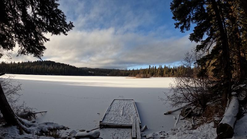
Image Credit: Kent Simmonds / CFJC Today
SPRING FRESHET & SUMMER DROUGHT

Snowpack numbers bring positive signs for flood potential, concerning harbingers of drought

Mar 8, 2024 | 5:30 PM

KAMLOOPS — The latest round of snowpack levels released by the BC River Forecast Centre Friday (Mar. 8) saw a slight improvement from last month, but not by much.

“The provincial average snowpack from our March 1 reading is 66 per cent of normal, and again, that’s up from the 61 per cent of normal that was observed February 1,” BC River Forecast Centre Head Dave Campbell told a news conference on Friday.

Mapping shows many areas in B.C. are seeing concerningly low readings, but the South Thompson basin stuck out in latest measurements, at 90 per cent of normal. The North Thompson and Lower Thompson basins are both hovering in the 70-to-76 per cent range.

Granted, Campbell says the readings can change before the end of snowfall season.

“We’re not through the entire accumulation season yet,” said Campbell. “There’s still some time. Particularly on a regional basis, we can see both upswings or declines in snowpack over the coming month, to month and a half.”

Looking over the season and what the data indicates, the BC River Forecast Centre notes there are two sides to it.

“The first is the flood side of things,” says Campbell. “Certainly with the broad lower than normal snowpack we are anticipating a decrease in the seasonal flood risk in most areas of the province.

“We continue to see that increased hazard for seasonal drought this year,” he added, “particularly in relation to the snowpack side of things.”

The Thompson Nicola Regional District (TNRD) says it is keeping an eye on the situation and has plans ready for possible spring flooding, or summer drought events. According to Communications Manager Colton Davies, the latest snowpack reading hasn’t been cause for drastic changes to their emergency planning for spring and summer.

“In that sense, our staff would prepare pretty well the same every year while keeping constant check on the conditions and what we might be expecting for flood, landslides, drought or fires during the year,” Davies told CFJC Today.

This week’s update from the River Forecast Centre does make the district less worried about the risk of flooding on major rivers in the area. But plenty of factor can change how spring freshet plays out.

“You can have a low snowpack year and have a warm spell in the spring and still have flooding,” noted Campbell. “And of course you can have flooding in a high snowpack year. A lot of it will really be determined on short-term weather that comes up.”

The snowpack bulletin for April 1 is widely regarded as the ‘benchmark’ measurement for the season and the BC River Forecast Centre says it will be releasing that data on April 10.

View Comments