Image Credit: Adam Donnelly / CFJC Today
WINTER IS COMING... FINALLY

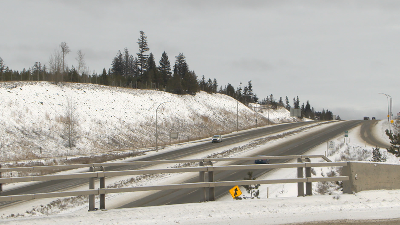
Interior region facing highway snowfall warnings, temperature drops this week

Jan 8, 2024 | 6:00 PM

KAMLOOPS — It’s been a mild winter thus far, but Environment Canada says we’re in for a rude awakening. Snowfall warnings are in effect for several highways throughout the Interior and temperatures are expected to drop this week.

It’s the type of weather system that periodically comes through the Kamloops area each winter season, but the shift could feel more intense because residents have become used to the warm, dry weather.

Up until this week, Kamloops and the surrounding region haven’t endured the typical temperatures or the standard snowfall that winter brings.

“This year has just been very notable for how warm it’s been,” notes Environment Canada meteorologist Alyssa Charbonneau, “so that is what is going to make this transition feel perhaps even more dramatic as we have not had a lot of winter weather to deal with yet.”

Snowfall warnings, travel advisories and winter storm warnings have been posted for Coquihalla Highway sections near Kamloops, Merritt and Hope, along with the Okanagan Connector (Highway 97C) and the Trans-Canada Highway through Rogers Pass.

“In the Kamloops area, a little bit less snowfall expected. Sort of closer to 5-to-10 centimetres of snow there, as well as up on the Merritt-through-Kamloops section of the Coquihalla,” explains Charbonneau. “A little bit dryer in that section, but lots of places especially if you’re travelling, there is the chance to run into some heavy snowfall.”

That snow is expected to stick for a few days, at least. Charbonneau says an Arctic front will bring temperatures down into the double digits this week.

“For the Kamloops area, we have temperatures forecast to be around -20 (Celsius),” said Charbonneau, “so a big departure from the warmer than normal conditions that we’ve been seeing.”

The chill will ease gradually by next week, but in the meantime, the forecaster says Interior residents should get their coats and shovels ready.

“Especially for the next couple of days with that heavy snow expected for those routes towards the coast. If possible, try to plan your trip around the heaviest snowfall,” adds Charbonneau, “because it is, as I said, our first switch back into the winter after some relatively mild conditions.”

People are also reminded to use DriveBC to monitor travel advisories, road closures and current conditions.

View Comments