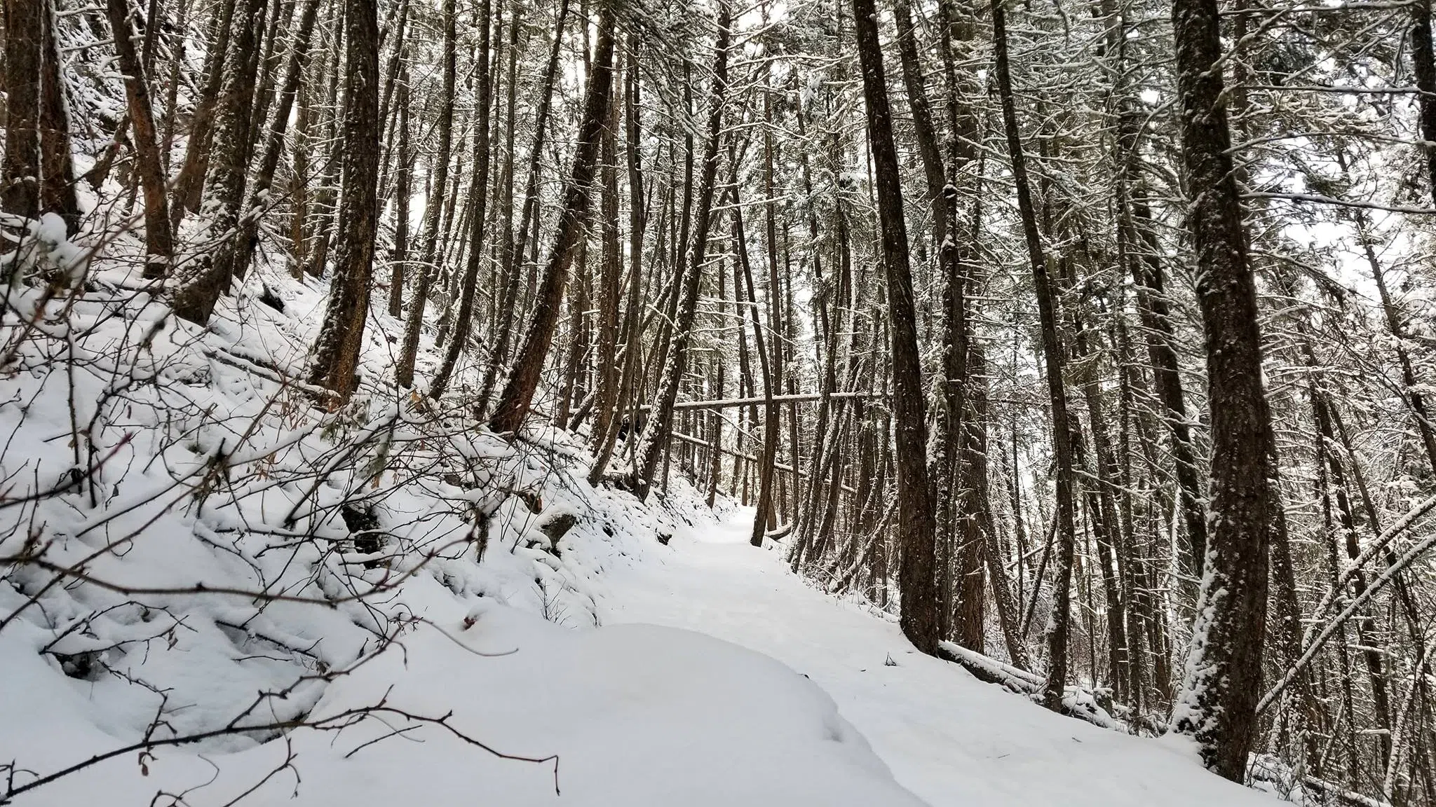
Snowpack near normal in Kamloops area
-
Share on Facebook
-
Share on Twitter
- Copy Link
KAMLOOPS — The BC River Forecast Centre says it’s too early to tell how the January snowpack will impact conditions come spring.
“It’s still early in the season, but at this point, with just an average snowpack, it’s hard to say whether we’re leaning toward a year when it could be more of a drought condition or a flood condition,” said hydrologist Jonathan Boyd. “It could go either way, depending upon the weather conditions over February, March and April.”
“It’s not always just the snow conditions that lead to drought and/or flood conditions. It comes down to the weather that goes on through the spring period and into the summer.”
Snowpack totals for the North Thompson basin on January 1 measured 83 per cent of normal, with the South Thompson at 90 per cent.