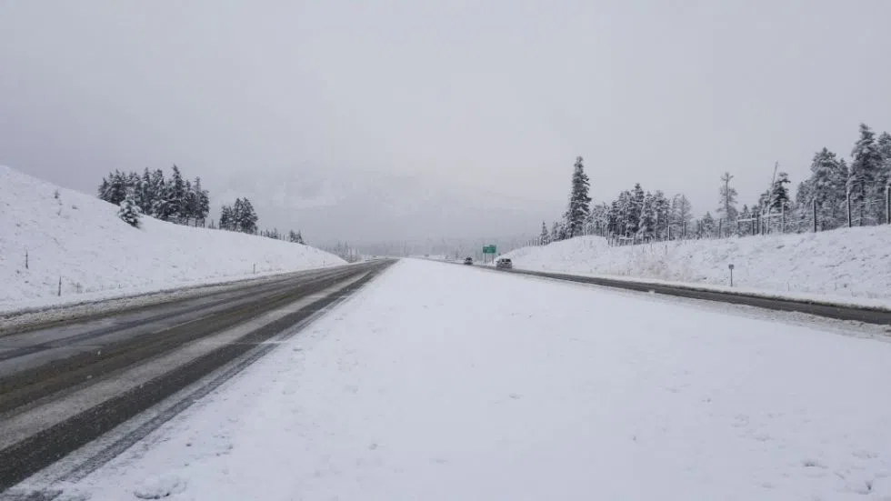
Big dump of snow forecast for parts of the Coquihalla Tuesday

Dec 11, 2018 | 4:38 AM

KAMLOOPS — A winter storm is expected to hit the southern portions of the Coquihalla starting Tuesday afternoon, but Environment Canada says Kamloops should escape the brunt of the precipitation.

Forecaster Bobby Sekhon says snow will begin falling heavily on the Merritt-to-Hope stretch of the Coquihalla after noon today.

“For the next day or day-and-a-half here, we’re expecting up to 15 centimetres of snow – pretty heavy today, actually – and another five to 10 tonight. Things will taper off a bit, but we’ll still see two to four centimetres of snow tomorrow,” said Sekhon.

Further north, Sekhon says snow should be less significant in the Kamloops-to-Merritt stretch of the highway, and Kamloops itself only has a chance of getting the white stuff.

“In through Kamloops, it will be even less than that,” said Sekhon. “We’re just seeing a pretty good chance of rain or snow. With the temperature hovering so close to zero, it’s going to be a little bit tricky in terms of which phase type falls. However, most of the action is on the Coquihalla, where we could see up to 30 centimetres of snow by tomorrow evening.”

After this system moves through Wednesday evening, temperatures are expected to rise in Kamloops once again, reaching the high single digits.

But Sekhon notes that may come with some precipitation as well.

“We’re getting into an active storm pattern here. We’re going to see impulses coming through for the rest of the week, so do keep an eye on the forecast in terms of getting the possibility of more snow later this week, as well,” says Sekhon.