Special weather statement in effect for the Southern Interior
May 10, 2017 | 12:00 PM
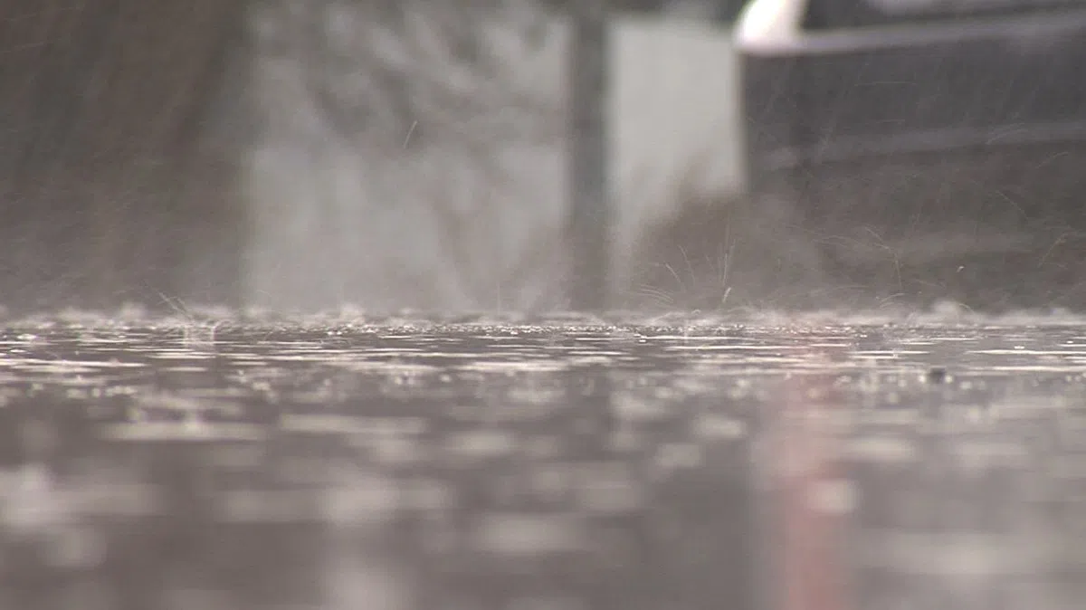
KAMLOOPS — The southern BC Interior remains on alert that rain predicted for this week could bring rivers and creeks above the breaking point once again.
Environment Canada has issued a special weather statement that includes the Kamloops, Shuswap and Nicola regions.
Forecaster Cindy Yu says 10 millimetres of rain could fall in a system expected to enter the area tomorrow.
“In the next couple of days, we’re expecting this trough to move through,” said Yu. “There will be some thunderstorms related to this trough. As a result, some of the local areas that we mentioned in the statement could get some localized heavier amounts.”