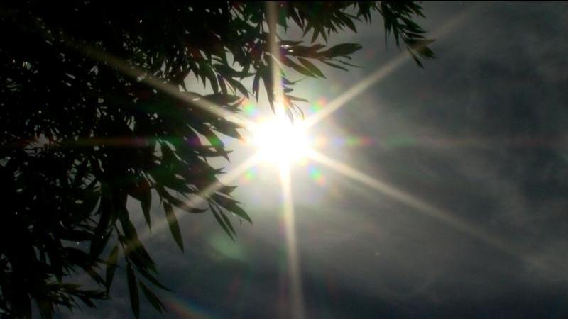
File photo (Image credit: CFJC Today).
Heat Warning
Kamloops to experience more reasonable, seasonal temperatures mid-week
Jul 22, 2024 | 12:15 PM
KAMLOOPS — The end of a lengthy heat warning is near for Kamloops and area.
Environment Canada forecasts Monday (July 22) being the last day Kamloops hits the mid-30s before the area experiences more reasonable and seasonal temperatures.
“Temperatures will slowly build from the middle 20s, especially on Thursday, which is probably our coolest day and arguably a few degrees below what is seasonal, but then build back to what is seasonal,” Armel Castellan, Environment Canada meteorologist, told CFJC Today. “We don’t anticipate the same kind of heat as we’ve been seeing for the better part of a week-and-a-half.”
Castellan notes Sunday’s daily high temperature of 41.1 degrees Celsius was the seventh warmest day on record for Kamloops.