File photo (Image credit: CFJC Today).
Prolonged Heat Wave

Kamloops expected to surpass maximum daily temperatures for three days as heatwave lingers

Jul 15, 2024 | 12:15 PM

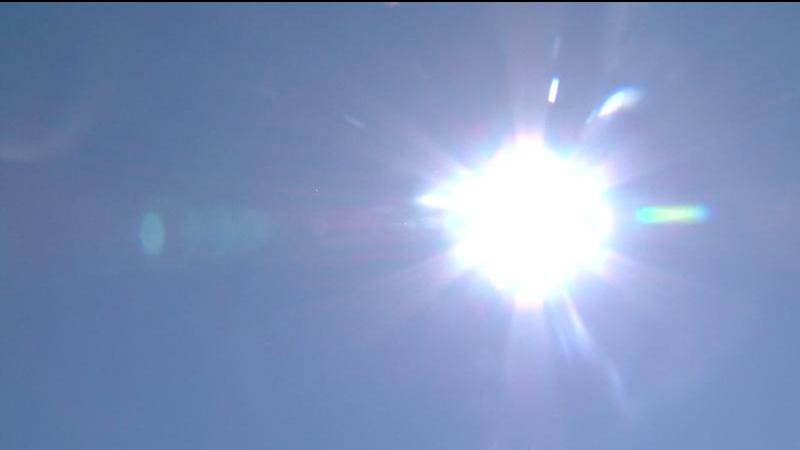
KAMLOOPS — The unusually long and persistent heatwave that has blanketed Kamloops and area for most of July is expected to linger throughout the week.

Environment Canada forecasts Kamloops will surpasses its maximum daily temperature records for three days in a row Monday (July 15) to Wednesday, with the latter day expecting to reach a high of 40 degrees Celsius. It’s due to a ridge of high pressure from the southwestern United States that exited through the east but is now rebounding over B.C.’s Southern Interior.

“It’s relatively uncommon,” Chris Doyle, Environment Canada meteorologist, explains. “The forecast maximum temperatures are not exceeding the old records by huge amounts – a degree or so. It’s not an exceptional fracturing of the old record like we saw with the heat dome in June 2021. The most important part about this heatwave is its longevity.”

Doyle says heatwaves in the summer can get more severe as they prolong themselves, due to the landscape drying and ground temperatures increasing. He notes troughs from the Pacific are not successful in eroding ridges of high pressure until there is sufficient cold air in place, and that may not happen until September.

Overall, it means B.C.’s Interior – including Kamloops – is looking at a drier and warmer summer than usual. Doyle says there could be troughs that come from the Pacific to bring brief breaks from the heat, but they could bring the risk of dry lightning.

“[Monday], there may be some afternoon buildups… there’s a risk of lightning in the forecast,” Doyle says. “[Tuesday] should be mostly a clear sky day and then Wednesday and Thursday will be looking for a few buildups over the higher terrain with the risk of a bit of lightning but not much in the way of precipitation will reach the surface.”

Environment Canada says models are suggesting the maximum temperatures in the Southern Interior could lower early next week due to a trough from the Pacific, but Doyle says the models often tend to forecast it too early. He says Environment Canada will monitor the models day by day.

View Comments