Wildfire areas at ‘high risk’ for landslides in Shuswap
-
Share on Facebook
-
Share on Bluesky
-
Share on X
- Copy Link
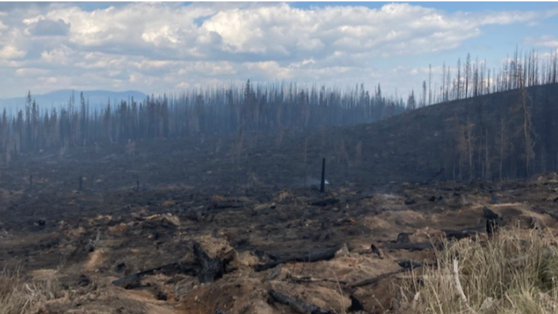
VERNON, B.C. — Some of the areas burned by the Bush Creek East wildfire in the Shuswap last year are at risk of landslides.
The Columbia Shuswap Regional District (CSRD) stated mountain slopes were burned in the fire, which changed how the landscape absorbs precipitation.
The CSRD hired an engineering firm in September of 2023 to analyze the risks to residents and infrastructure from post-wildfire hazards including debris flow, flood and rock fall. B.C.’s Ministry of Forests also secured a consultant to complete a post-wildfire Natural Hazard Risk Assessment of the burned area near Shuswap and Adams lakes.
Following this preliminary work, a more detailed assessment of the 73 watersheds in the burned area was conducted, which showed there were 10 zones in the North and South Shuswap identified as ‘high risk’ of landslides, should a debris flow or debris flood take place.


