File photo (Image credit: CFJC Today)
Periods of Heavy Snow
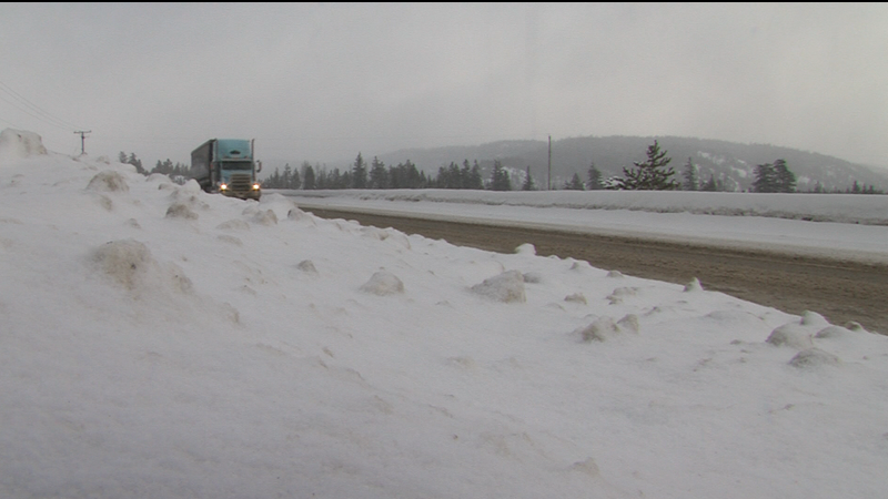
Periods of heavy snow expected in Kamloops and area over three days: Environment Canada
Jan 15, 2024 | 5:35 AM
-
Share on Facebook
-
Share on Bluesky
-
Share on X
- Copy Link
KAMLOOPS — One week after Kamloops and area had its first taste of true winter snowfall this season, another significant dump could be on its way.
Starting Monday (Jan. 15) night and lasting through to Wednesday, Environment Canada says an arctic front will begin to sweep across the province from north to south and bring periods of snow with it.
At the same time, the weather agency says moisture from a Pacific low-pressure system will approach the coast from the west and interact with the cold front from the north. It’s expected to bring periods of heavy snow which may trigger snowfall warnings in some regions.


