South Thompson high streamflow advisory upgraded to Flood Watch
-
Share on Facebook
-
Share on Bluesky
-
Share on X
- Copy Link
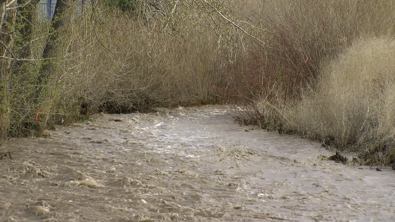
KAMLOOPS — The River Forecast Centre has issued a Flood Watch and High Streamflow Advisory for several areas in the British Columbian Interior due to rising river levels and potential flooding. The regions under a Flood Watch include Lower Thompson, Nazko River, and West Road River, while the High Streamflow Advisory is maintained for Upper Fraser, Middle Fraser, and South Interior.
The flood watch on the South Thompson river extends to the confluence of the North and South Thompson river in Kamloops, only extending the flood watch to half of the city. The other half will remain under a high streamflow advisory.
According to the Ministry of Forests, snowmelt rates have been increasing in mid-elevation areas over the past few days, with snowmelt in the range of 25mm to 50mm of snow water equivalent observed yesterday. Rivers have been rising in response to elevated snowmelt runoff.
The River Forecast Centre states weather in B.C. is changing, with the strong upper ridge that brought hot temperatures across the province breaking down. An upper low is expected to bring unsettled weather and showers today, particularly for the South Interior. However, another period of warmer temperatures is expected next week, with well above average temperatures expected.


