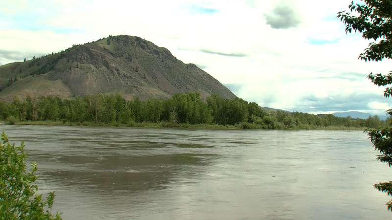
Floods or fire: Kamloops may face catch-22 with delayed snowmelt
KAMLOOPS — The North and South Thompson basins both saw substantial snowpack increases as of June 1, 2022, relative to seasonal norms. In an update to B.C.’s map of snow basin indices Wednesday (June 8), the North Thompson is now listed at 175 per cent of normal, up from 142 per cent on May 15. The South Thompson saw a larger increase, going from 113 per cent snowpack on May 15 to 157 per cent on June 1.
Snowpack melt has been delayed by two to four weeks due to cooler weather in April and May. Where half of the accumulated snowpack typically melts by June 1, the B.C. River Forecast Centre (BCRFC) says only 19 per cent has melted this year. The threat of heavy rain has the BCRFC worried about potential flooding in the region.
“We are now in that process where the snow is melting day by day. And then if you add rain to that you are going to increase the river response, but rain falling on a snowpack that is melting actually just washing the snow quicker. You can actually end up getting a triple effect from it,” said Hydrologist Jonathan Boyd.


