CFJC Today recognizes National Day for Truth and Reconciliation
(Image Credit: CFJC Today / Kent Simmonds)
WINTER IS NOT OVER

Accidents follow higher snowfall than expected in Kamloops, with chance for temperature drop next week

Feb 6, 2020 | 5:13 PM

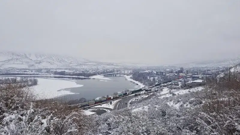
KAMLOOPS — Throughout yesterday (Feb. 6), Kamloops residents were out shovelling a lot more than the two-to-five centimeters of snow originally predicted for the area.

Environment Canada meteorologist Doug Lundquist says the day’s constant snowfall was brought in by a collision between cold and mild air, with Kamloops right in the middle of it.

“We had a decent amount of snow. 14 centimetres down in Kamloops, which is more than we expected for sure. It’s not record breaking, but as far as the southwest Interior goes, whenever we get snow above 10 centimetres, that’s a pretty decent snowfall.”

The somewhat unexpected dump of snow brought more vehicle incidents in Kamloops and the surrounding areas, according to RCMP Cpl. Jodi Shelkie.

“We’ve had incidents of motor vehicle accidents in every situation here. From the highways, to the municipal roads, in parking lots — mainly they happen at intersections,” Shelkie explains. “So that’s a place where you’re really going to need to scan and know to slow down and brake appropriately.”

The aftermath of previous vehicle incidents could be seen around the city Thursday morning. With that, Kamloops RCMP stress common sense for winter driving — noting that people need to be giving enough space to other cars in front of them, and slowing down.

Shelkie says just because other cars may be speeding, or simply going the speed limit while the roads are icy, that doesn’t mean you have to follow their lead if it feels unsafe.

“Be the cautious person; be the person that’s driving according to the road conditions,” she says. “We have had some incidents where there has been motor vehicle crashes on the highways, and it’s been due to people not anticipating the black ice, or driving too quickly for road conditions.”

Higher elevation highways near Kamloops and the Interior are likely to see further snowfall. Yesterday, the Coquihalla saw about 20 cm of snow come down, and Lundquist says another 15-to-20 cm is expected over the next day and a half.

Lundquist says while there has been a noticeable increase in winter conditions, it’s not entirely unusual.

“January is our coldest, snowiest month. December and February are more iffy. And certainly it’s kind of lingering, this January weather here into early February. But beyond about the 15th, if we recover from that Arctic air, we might really notice next time we warm up that it’s a really significant warming.”

This weekend, a reprieve from the snow is anticipated for Kamloops, however another Arctic outbreak could come to the area later next week.

“It is backing off a little bit, so maybe we’ll squeak by with just a little bit of a colder period at the end of next week,” he notes. “But let’s not count out that we still could get an Arctic outbreak. Winter isn’t over until it’s over.”

View Comments