(Image Credit: Kent Simmonds)
KAMLOOPS WEATHER
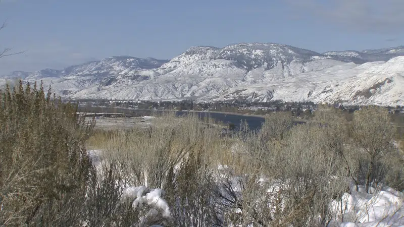
Light snowfall anticipated to start the week within Kamloops area
Jan 5, 2020 | 3:23 PM
-
Share on Facebook
-
Share on Bluesky
-
Share on X
- Copy Link
KAMLOOPS — With the current weather system moving through the region, Environment Canada says Kamloops could be in for a slightly snowy start to the week.
Meteorologist Greg Walters says the rest of today’s forecast for Kamloops has some scattered showers expected, and potential flurries in the higher elevations.
“We’re looking at a little bit of wind as well,” he says, “Looking at an easterly wind, about 30-50 km/h. Shifting west, and gusting up to 60 km/h this afternoon. So it is going to be a little bit windy out there.”
So far it has been a mild winter for the amount of snowfall in the local area, but Walters says January is expected to bring more.


