CFJC Today recognizes National Day for Truth and Reconciliation
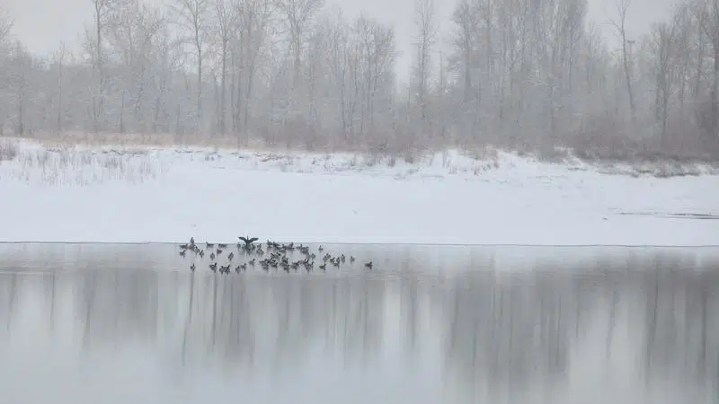
File Photo (Contributed / Lyn MacDonald)
Snowfall Warning

Expected snow dump prompts snowfall warning for North Thompson, Shuswap

Dec 30, 2019 | 10:19 AM

KAMLOOPS — UPDATE: The snowfall warning has now been extended to include the Kamloops and South Thompson regions.

EARLIER: The decade is going out like a lion in the B.C. Interior.

Environment Canada is calling for snowfall for much of the Interior in the coming days. The forecasting service has issued a snowfall warning for several regions including the North Thompson, Shuswap and Okanagan.

“We’re looking at a fair bit of snow for tonight, five to 10 centimetres,” forecaster Bobby Sekhon told CFJC Today. “Tomorrow, it could be another 10 centimetres, maybe around 15 closer to Shuswap. Then tomorrow afternoon or in the evening is when we start to switch over to a rain-snow mix or even rain the valleys in some places.”

Temperatures are expected to be a bit milder in the valley bottoms, including around Kamloops, where the precipitation is predicted to include a fair amount of rain.

“We’ll see some snow tonight and tomorrow, however in the valley bottom it will transition to rain tomorrow afternoon,” said Sekhon. “However, up in the higher elevations, closer to Aberdeen or some higher communities, it could remain as snow and (they could) get a few more centimetres out of it.”

Sekhon notes by New Year’s Day Wednesday, the Pacific frontal system is expected to lose power and move off.

“Tonight into Tuesday will be the main event and then things start to taper off Tuesday night,” said Sekhon. “As we get into Wednesday, for example around the Kamloops area, it’s just looking like a chance of showers or flurries Wednesday night. So the main event is kind of tonight and Tuesday.”

View Comments