‘Really ridiculous’: Environment Canada says Friday B.C. snowfall brought rare intensity
-
Share on Facebook
-
Share on Bluesky
-
Share on X
- Copy Link
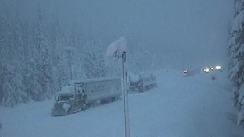
KAMLOOPS — A veteran forecaster with Environment Canada says the intensity of the system dumping snow over the B.C. Interior may come once a year.
“I’ve been doing this business for thirty-some years and I remember this kind of thing happening,” Doug Lundquist told CFJC Today. “It might not be every year — or maybe once a year — to have it set up like that. So it’s not out of character. Perhaps it’s just a tiny bit more over the top than I used to remember. Maybe 20 per cent more precipitation, slightly warmer air.”
Lundquist says the system stalled over the province right now is an atmospheric river — formerly known as a Pineapple Express — and is expected to wait until Saturday night before moving off.
“There is going to be a lot more snow yet. It’s racking up four, five centimetres an hour every now and then at places like Allison Pass and Coquihalla Summit. It’s really ridiculous,” said Lundquist.


