(Image Credit: CFJC Today)
SNOWFALL POSSIBILITY
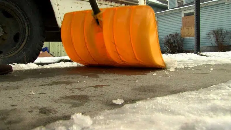
Chance of flurries forecast for several days in Kamloops
Dec 1, 2019 | 3:24 PM
-
Share on Facebook
-
Share on Bluesky
-
Share on X
- Copy Link
KAMLOOPS — There’s a good chance the Kamloops area could see some snowfall this week, however it wouldn’t be much.
Environment Canada Meteorologist Dave Ray says the recent colder temperatures and cloud cover over the last week is pretty standard for late November, early December.
“We do have a slight risk of a snow flurry in the forecast for the day (Dec. 1)- at 30 per cent. Daytime high maybe getting up to about minus 4, so it’s a bit chilly.”
According to Ray, Monday and the next several days will be hovering around that snowfall chance.


