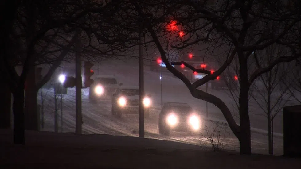
Forecast change means snow expected to arrive in Kamloops starting Thursday
KAMLOOPS — A change in the forecast means Kamloops is in for snow — sooner than later.
Environment Canada forecaster Lisa Erven says the precipitation will begin in earnest around noon tomorrow.
“We’re going to start to see increasing cloudiness through tonight. Tomorrow we do have a small chance of flurries to begin in the morning,” said Erven. “But really, the main event gets going around noon with periods of snow beginning. That’s going to continue through Thursday night, through Friday, perhaps even through Friday night.”
“Snowfall amounts are on the fairly low side. It’s going to be fairly light, fluffy snow that falls. So [we’re expecting] a few centimetres on Thursday afternoon, another couple Thursday night, another couple Friday to add up over a while to anywhere from five to 10 centimetres.”


