(Image Credit: IntelliMass.ai / contributed)
AI evacuation tech

Kelowna tech company pilots AI evacuation planning tool with Lytton-area First Nations

Jun 27, 2026 | 9:13 AM

LYTTON, B.C. — A Kelowna tech firm is working with 10+ First Nations communities around Lytton to pilot an evacuation planning tool powered by artificial intelligence (AI).

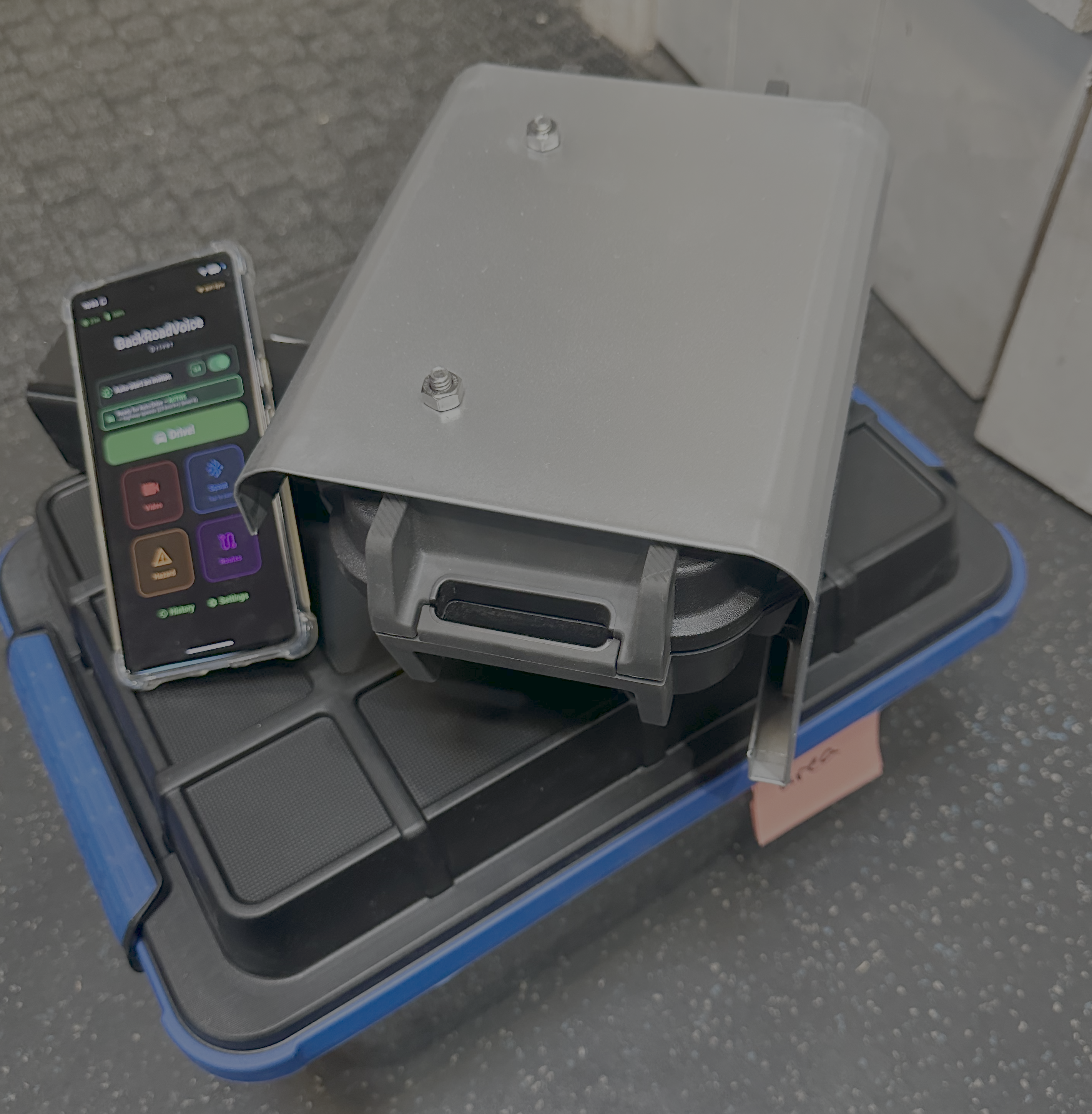
The tech, BackRoadIntel, is an AI-powered infrastructure intelligence platform from IntelliMass.ai that monitors road conditions and transportation networks in rural and remote areas.

IntelliMass.ai said the system identifies potential issues that could impact emergency access or evacuation efforts, such as washouts, drainage failures, rough road segments, vehicle-clearance risks and other hazards.

“When an emergency hits, people can’t just rely on Google Maps. It might show you a road, but you don’t know if that road is paved or not, if it’s just for logging trucks, how wide or narrow it might be, if your low-riding sedan can clear it, that it was partially destroyed by a landslide two weeks ago, if it can handle a long line of evacuees, and more,” said Ryan Gallagher, co-founder and CEO of IntelliMass.ai.

IntelliMass.ai was pre-qualified under the federal government’s $1.15-million AI Innovation Testing Stream, which aims to evaluate technologies that address public-sector challenges.

Gallagher said the pilot program is a way to prove the tech can help with emergency management.

“We’re an early-stage tech company. We’re trying to prove our worth to these emergency managers in these at-risk regions and we think we’re really onto something here, and in doing so, we’re helping to improve public safety,” said Gallagher.

BackRoadIntel is a hitch-mounted sensor and dashboard camera system that is attached to a truck to accumulate data on rural roads to create detailed maps.

“That first-person driver feedback combines with the data from the sensors – the roughness, impact and the movement of the vehicle – and the visual data from the camera,” said Gallagher.

“All of that data is linked and mapped and automatically turned into what is essentially a scorecard for the road and has all of the data behind it to provide the evidence needed to take action, make improvements, make a report or whatever the requirements are for the data.”

The company said the BackRoadIntel system collects data from vehicles already travelling along unpaved roads rather than taking inspection crews away from other tasks.

The pilot program is being rolled out in the Lytton area shortly after wildfire fighters got the 663-hectare Saw Creek Wildfire under control.

“Lytton has really had some challenging years, and if there was a place that could use our support it’s Lytton. We know we can help and we wanted to see what we could do,” said Gallagher.

“We almost had to reschedule because of that fire. This shows you that you can’t really predict when it’s going to come, where it’s going to come from, or which way the wind is going to be blowing that day. That’s really the key here: you kind of have to know where you can go at a moment’s notice.”

IntelliMass said it identified the Lytton area as having some of the most ‘data-dark’ road corridors in the region and is fairly close to the company’s home base in Kelowna.

“There’s historically been no practical way for at-risk communities to consistently document road conditions in detail, but now with the system mounted on a small number of regional vehicles, they can capture data while going about their usual drives,” adds Gallagher.

“We want this new road data to give leaders a ‘digital safety net’ in evacuation planning.”

BackRoadIntel Kit
BackRoadIntel Kit (Image Credit: IntelliMass.ai / Contributed)