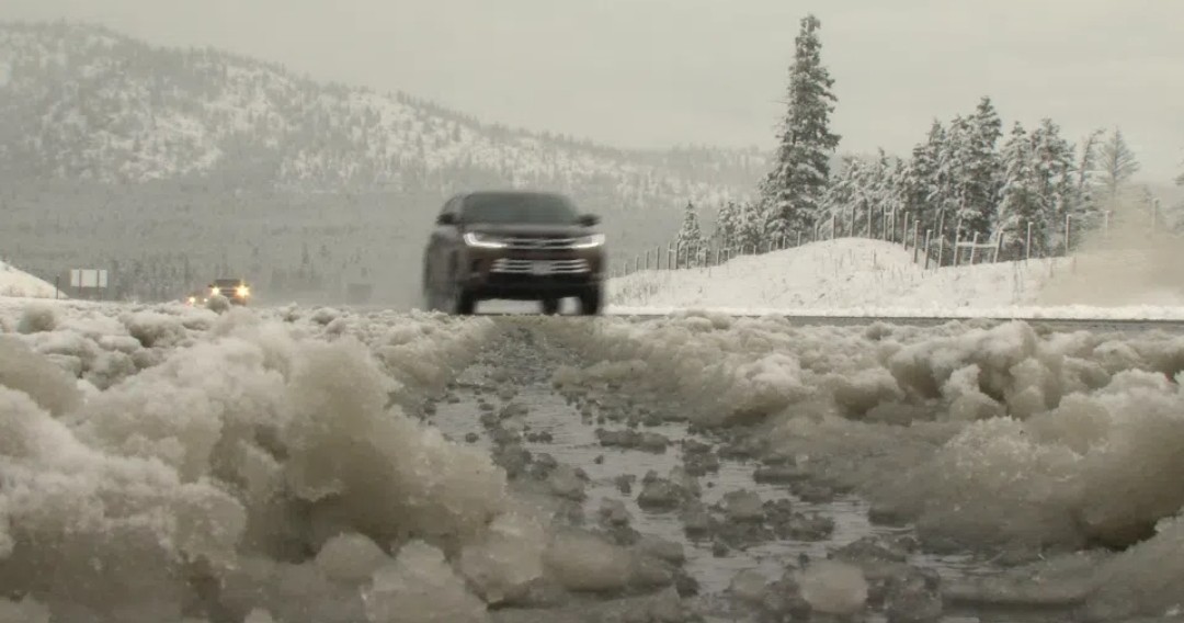
System bringing pockets of heavy snow, lowering snow levels for Kamloops area
-
Share on Facebook
-
Share on Bluesky
-
Share on X
- Copy Link
KAMLOOPS — The taste of winter that impacted highways and elevated neighbourhoods in the Kamloops area over the weekend is expected to upgrade to an appetizer Tuesday (Oct. 27) night.
Environment Canada says localized pockets of heavy snow are expected for the North and South Thompson regions as well as the 100 Mile area, the southern Chilcotin and Highway 97 from Clinton to 100 Mile House, tonight. Snowfall amounts of up to 10 centimetres are expected.
In a special weather statement, Environment Canada says localized heavier showers may drag snow levels down to nearly 600 metres in areas throughout the North and South Thompson. In Kamloops, that means neighbourhoods such as Aberdeen, Dufferin, Juniper Ridge, Pineview and Sahali could see significant snowfall.
Additionally, the weather agency is telling drivers to prepare for rapidly changing road conditions and suddenly reduced visibility as a low-pressure system is expected to bring a cold and unstable airmass to central and southern B.C. Tuesday afternoon.