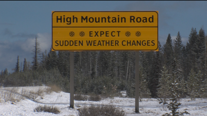
(Image Credit: CFJC Today/File Photo)
Fall Storm
Saturday storm to bring snow, gusty winds to parts of central, southern B.C. on Election Day
Oct 15, 2026 | 6:21 PM
-
Share on Facebook
-
Share on Bluesky
-
Share on X
- Copy Link
MERRITT — It’s shaping up to be a messy election day as Environment Canada says a fall storm will bring mixed weather conditions to parts of the interior and some mountain highways this Saturday (Oct. 17).
A special weather statement is in place for the Coquihalla Highway between Kamloops and Hope, the Okanagan Connector between Merritt and Kelowna and Highway 3 from Hope to Princeton via Allison Pass.
It is also in place for the Nicola Valley; the Similkameen; the Cariboo, Chilcotin and 100 Mile area; the eastern reaches of the Fraser Valley including Hope as well as the Manning-Skagit Valley, Prince George, Stuart-Nechako and the Lakes District.
A map of the affected areas can be found here.