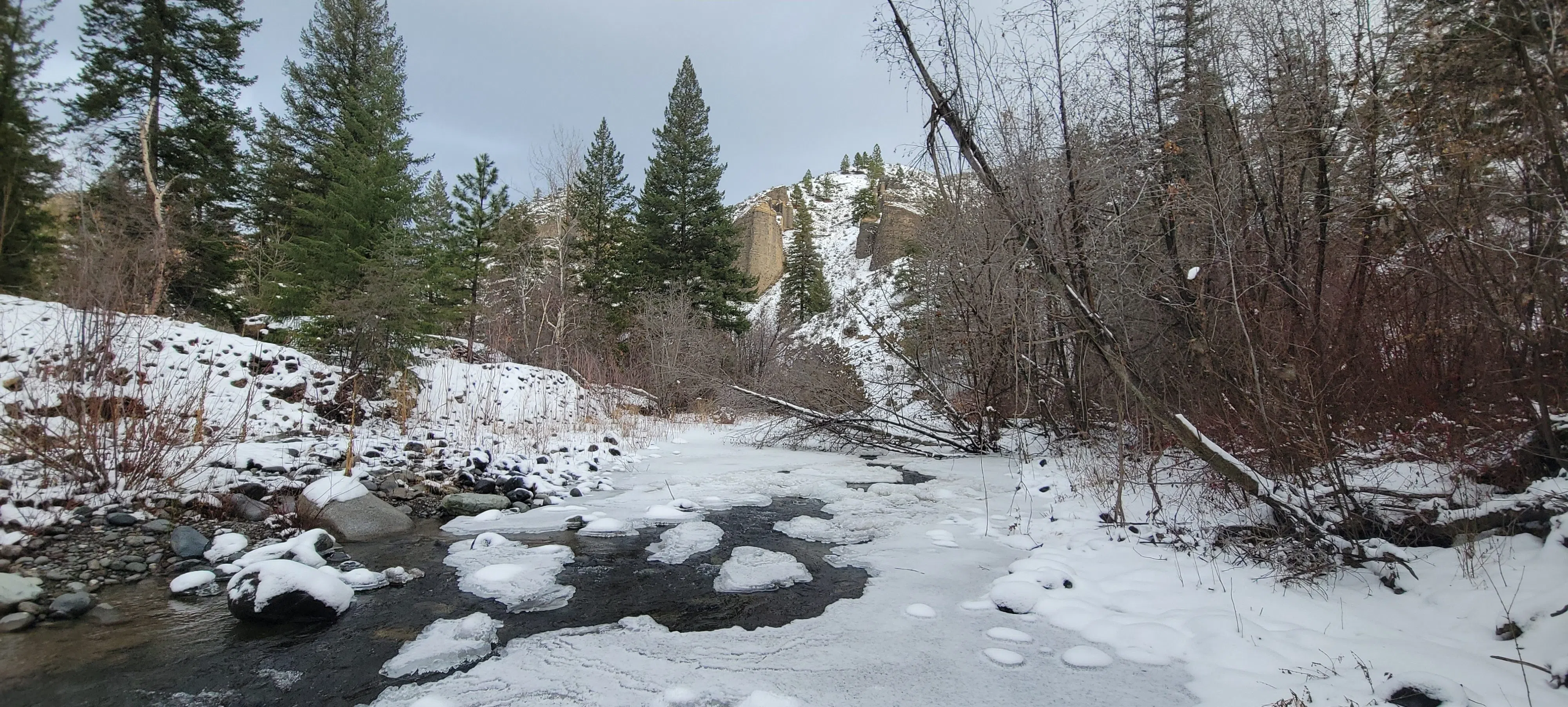
(Image Credit: Kent Simmonds/CFJC Today)
Weather Recap

Despite above normal snowfall, December 2025 was seventh warmest on record in Kamloops

Jan 5, 2026 | 4:15 PM

KAMLOOPS — If you thought December in Kamloops was warmer and wetter than usual, you would be correct as there was plenty of rain and snow during the final month of 2025.


Environment Canada says this past month was the seventh warmest and 12th wettest December on record, with records going back to 1890.

Speaking to CFJC Today, meteorologist Derek Lee says the average daily temperature in Kamloops was about 1.4 C last month, with December 2025 about 3.5 degrees warmer than normal compared to other Decembers.

“We did see quite a good stretch of warm weather for the first three weeks of the month,” Lee said. “We got up to an astounding 18.6 C for the Kamloops area as the daytime high on Dec. 15, and that actually is the warmest on record for any day in Kamloops for December.”

“As we wrapped up December, we did however plummet back down to a nighttime of -12 C. While the majority of the month was warm, we did cool back down.”

Lee says the Kamloops area got 50.2 millimetres of precipitation in the month in December 2025, which is about 196 per cent of normal, as typically about 25.6 millimetres of precipitation falls during the last month of the year.

He noted Kamloops also saw around 32 centimetres of snow last month, most of which fell during storms on Dec. 1 and again on Christmas Eve.

“The last time we had something like that was around 2021 when about 27 centimeters of snow fell in December,” Lee said, noting a typical December in Kamloops gets about 20 centimetres of snow.

“The warmest December on record in Kamloops was an average daily temperature of 4.1 C from 1939 and the wettest on record was 107.1 mm of precipitation that fell in 1924.”

Lee said a recurring series of storms from the Pacific that blew over Vancouver Island and Metro Vancouver before making its way to the Southern Interior was to blame for the warmer and wetter December experienced in Kamloops.

“Whenever we get storms from the Pacific, we are actually getting a lot of warm air coming in, so as that storm track remains south, we’re getting a lot of pumping of air from the Pacific, which is also warm and also moist,” Lee said.

“That kind of explains why we were warmer than normal and also wetter than normal.”

Looking ahead to the early part of January, the Kamloops area is expected to be warmer than normal and Lee notes any snow that falls overnight when temperatures dip below the freezing mark is expected to melt when things warm up.

As of publishing, the weather agency is forecasting a day time high of 2 C Tuesday to Thursday (Jan. 6 to 8), with overnight lows between 1 C to -3 C Monday through Thursday.

According to Environment Canada, a normal daytime high for Jan. 5 in Kamloops is -1 C while the normal overnight low is -8 C.