(Image Credit: Global News/File Photo)
Weather Warnings

UPDATE: Fraser Canyon freezing rain warnings lifted

Jan 3, 2026 | 8:40 AM

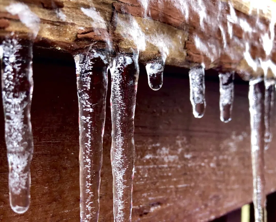
LYTTON, B.C. — (UPDATE 11:50 a.m.): As expected, Environment Canada has lifted freezing rain warnings that were in place for the Fraser Canyon a few hours after it was implemented.

The warning for the Lillooet and Lytton area was issued just after 8:20 a.m. Saturday (Jan. 3) and lifted around 11:35 a.m.

Freezing rain warnings have also been lifted in the Similkameen and Boundary regions. A special weather statement that covered the Boundary, the South Okanagan, and the the West Kootenay regions as well as Highway 3 between the Paulson Summit and Kootenay Pass has also been lifted.

A separate special weather statement remains in effect as the weather agency says high tides combined with a low pressure system have the potential to produce moderate flooding along parts of British Columbia’s south coast, including the Greater Victoria and Metro Vancouver areas.

ORIGINAL STORY — Environment Canada has issued a freezing rain warning for the Fraser Canyon, though it notes conditions are expected to improve in a few hours.

The warning for the Lillooet and Lytton area was issued just after 8:20 a.m. Saturday (Jan. 3), and the weather agency notes the freezing rain is expected to be brief as it’ll change to rain once temperatures rise near noon.

“A low pressure system complex off the coast of California will draw warm air and moisture into Southern B.C. interior this morning,” the Environment Canada warning said. “With cold air lingering in the valleys and warm air aloft, conditions are favourable for periods of freezing rain across the region.”

A similar warning is also in effect for the Similkameen as Environment Canada notes that roads and walkways will likely become icy and slippery, and that icy surfaces may be difficult to detect.

“Freezing rain warnings are issued when rain falling in sub-zero temperatures creates ice build-up and icy surfaces,” Environment Canada added.

A freezing rain warning was issued for the Boundary region last night while a special weather statement was issued early Saturday for the Boundary, the South Okanagan, and the West Kootenay areas as well as Highway 3 between the Paulson Summit and Kootenay Pass.

“Elevations between 500 to 1500 metres are likely to have significant freezing rain impacts,” the special weather statement added. “Periods of freezing rain mixed with snow will change to rain this afternoon as temperatures rise.”

These new weather alerts come one day after a special weather statement warning of possible coastal flooding in southern British Columbia – including both Metro Vancouver and Greater Victoria – was issued.

The weather agency says the possible high water levels along the coast is due to a combination of the region “entering a period of high astronomical tides” as the Earth reaches its closest point to the Sun as well as an incoming low-pressure system.

While its uncertain when exactly the centre of the low pressure system will arrive in B.C.’s south coast region, the highest risk of coastal flooding is for Sunday (Jan. 4).

You can find the latest weather alerts from Environment Canada here and the latest on highway conditions from DriveBC here.