City plow truck (image credit - CFJC Today)
FIRST SNOWFALL

December 1 snowfall amounts ‘quite rare’; Kamloops crew working to clear roads

Dec 2, 2025 | 4:35 PM

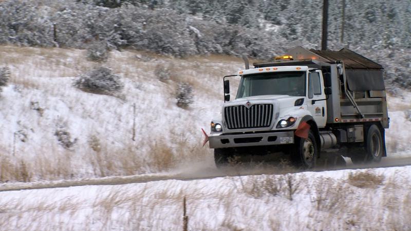
KAMLOOPS — Kamloops got its first taste of winter on Monday (Dec. 1) with a full-day snow event, coating the valley in white.

The City of Kamloops’ civic operations team prepares for average snowfalls, amounting to approximately 10 centimetres. That was doubled on Monday with amounts reported between 17 cm at the Airport to 20 cm further up the hill.

“As a first snowfall, it creates a challenge for all drivers, even to get used to it again,” said Joe Luison, civic operations assistant director and public works divisional manager. “But crews are doing quite well. Right now with the warming temps, it’s looking promising. We might gain some of that time back. Crews are hoping to have arterials and such done by the end of (Tuesday) afternoon shift.”

The city works through a system of hitting arterials first, followed by collectors and finally locally roads. Currently, they have extra staff in, working 24 hours a day to deal with the snow.

“Our goal for our benchmarks for arterials — so those would be roads like Columbia Street, Westsyde Road, Fortune Drive, those main thoroughfare arterials — is four hours after a snow event we like to have bare wheel paths and then we get up to cleanup,” outlined Luison. “From that point we get up to collectors, to try to get some movement on those, that is a 16-hour window and then locals is 36 hours after the end.”

The 17-to-20 cm of snow is classified by Environment Canada as a rare event for the Kamloops area.

“According to our climate normals, Kamloops only receives about 20 cm of snowfall on average for the month of December,” said Environment Canada Meteorologist Bobby Sekhon. “It’s only about every four years that we see snowfall in one day over 10 cm in Kamloops, so I would say this is not a very frequent event and quite rare in that sense, and especially in the way it came down.”

Temperatures are expected to rise as the week goes on, which could lead to some snow melt, but another system is rolling into the Kamloops for the back half of the work week.

“We are also expecting more precipitation to fall later this week — especially Thursday and Friday — and depending on the time of the day, it could be more of that rain or rain-snow mix, or maybe more of the snow overnight,” said Sekhon. “It’s going to be something to watch on the forecast in terms of timing and what kind of precipitation type we are dealing with.”

With another system potentially forecast, the city is working against the clock if more snow is actually on the way.

“What we won’t be able to do is a lot of that touch-up of widening of roads, because we do have a lot of areas where we blow snow off the road to widen them,” said Luison on plans if another storm hits the city. “We might not get to that, so what that is going to create is some narrower roads and some tighter conditions.”