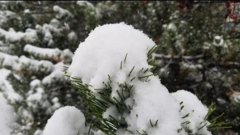
File photo (Image credit: CFJC Today).
Weather Alerts

UPDATE: South Cariboo snowfall warnings expanded to include Thompson, Shuswap areas

Dec 1, 2025 | 4:48 AM

KAMLOOPS — (UPDATE 11:20 a.m.): The B.C. interior is getting a winter welcome to start December.

Environment Canada has expanded a yellow level snowfall warning that was in effect from the South Cariboo to include the North and South Thompson, the Shuswap and the North Okanagan.

A special weather statement is also in effect in the Chilcotin and the North Cariboo, including Quesnel, with a separate freezing rain warning also in effect in the Chilcotin.

The weather agency is forecasting 10 to 15 centimetres of snow to fall Monday (Dec. 1) before it begins to taper off later tonight.

“A Pacific frontal system is pushing into the BC interior,” Environment Canada said. “There is also the potential for some freezing rain mixed with the snow at times for the Southern Cariboo and 100 Mile regions.”

“Be prepared for hazardous driving conditions and slippery surfaces.”

The snowfall warning also covers Highway 97 between Clinton and 100 Mile House via the Begbie Summit. At the moment, there are no weather alerts on the Coquihalla where 2 to 4 cm of snow is expected Monday or the Okanagan Connector where as much as 5 to 10 cm of snow could fall.

“Roads and walkways will likely be difficult to navigate due to accumulating snow,” Environment Canada added.

“Weather in the mountains can change suddenly, resulting in hazardous driving conditions. Prepare for quickly changing and deteriorating travel conditions. Prepare for possible disruptions to transportation, services, and utilities.”

You can find the latest weather alerts from Environment Canada here and the latest highway alerts from DriveBC here.