Special weather statement in effect for much of southern B.C. because of warmer than normal temperatures
-
Share on Facebook
-
Share on Bluesky
-
Share on X
- Copy Link
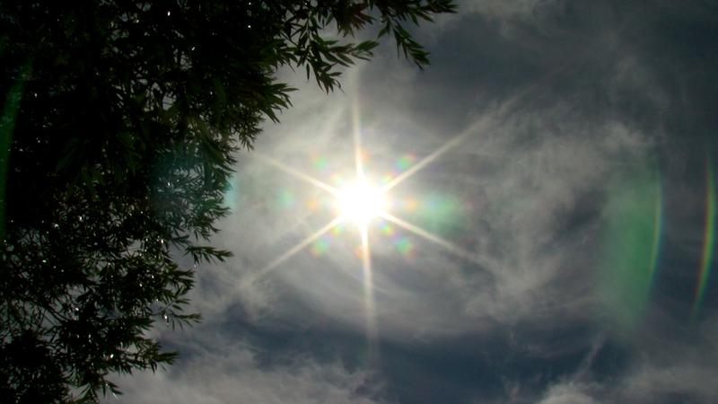
KAMLOOPS — Environment Canada has issued a special weather statement for a large portion of southern B.C., because of an “early season heat event” with warmer than normal temperatures expected into next week.
That special weather statement covers the Kamloops area, which includes the North Thompson, the Shuswap, the Nicola Valley, and the Fraser Canyon. It also includes the South Coast, parts of Vancouver Island, the Okanagan and the western part of the Kootenays.
“A ridge of high pressure is bringing high temperatures to the region,” said the statement from Environment Canada. “Temperatures will be warming through the weekend and by Sunday highs are expected to be in the low- to mid-30s with overnight lows in the mid-teens.”
While the elevated temperatures will persist into early next week, it is not yet expected to cross into the threshold for a heat warning in Kamloops, though it may get pretty close to it. The forecast is currently calling for a high of 35 C on Monday and 34 C on Tuesday, with an overnight low of 17 C on Monday night.