CFJC Today File Photo
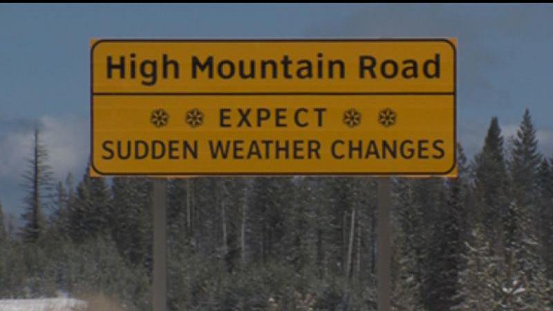
May Snow

UPDATE: Environment Canada lifts all special weather statements on B.C. mountain passes

May 11, 2025 | 8:24 PM

KAMLOOPS — (UPDATE May 12, 1:45 p.m.): All special weather statements have been lifted by Environment Canada.

Snow on the Pennask summit on May 12, 2025. (Image Credit: DriveBC)

ORIGINAL — If you haven’t yet swapped your winter tires for summer tires, maybe hold off for the next 48 hours or so.

That’s because Environment Canada has issued a special weather statement for a number of B.C. mountain passes, saying snow or wet snow is possible Sunday (May 11) night.

The alert covers the Coquihalla from Hope to Merritt, the Okanagan Connector from Merritt to Kelowna, and Highway 3 from Hope to Princeton via the Allison Pass and from Paulson Summit to Kootenay Pass.

Environment Canada says overnight Sunday, snow levels will lower to between 1,200 metres and 1,700 metres, and that periods of snow are possible over high elevation passes in the Southern Interior.

“An upper trough will continue to produce scattered showers over southern BC,” Environment Canada said. “Snowfall accumulations will be minimal, from trace to 4 cm, but rising temperatures on Monday will quickly melt away the snow.”

Environment Canada is forecasting a daytime high of 21 C in Kamloops on Monday, though there is also the risk of a thunderstorm in the late afternoon and the early evening.

As winter tires are not mandatory on any B.C. highway between May 1 and Sept. 30, people are urged to be caution as weather conditions may change quickly at higher elevation.

You can find the latest road conditions at DriveBC here, and the latest weather alerts from Environment Canada here.