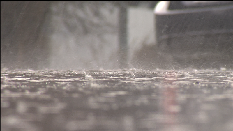
File photo (Image credit: CFJC Today).
Thunderstorm Watch

Thunderstorms expected to bring hail, heavy rain and strong winds to Kamloops area

Mar 26, 2025 | 10:24 AM

UPDATE (March 27): The special weather statements have been lifted.

UPDATE (11:20 a.m.): The most potent risk for thunderstorms during Environment Canada’s special weather statement for Kamloops and area is between Wednesday (March 26) afternoon and Thursday morning.

Speaking to CFJC Today, Lisa Erven, a meteorologist with Environment Canada, says the conditions are coming together to provide heavy rainfall of between 10 and 15 millimeters in a short time frame.

Kamloops and area can also see wind gusts of 50 to 70 km/h and small hail up to one centimetre in diameter.

“We have thunderstorms moving up from the United States impacting the southwest interior,” Erven says. “Timing is a little bit more uncertain the further out into the forecast period we go. However, the ingredients for thunderstorm development still persists throughout the day Friday and Saturday.”

Up in the highway passes, Erven says the freezing levels on the Coquihalla Highway from Hope to Kamloops and the Okanagan Connector from Kelowna to Merritt should be high enough that the precipitation that falls should be rain, except for the chance of hail.

However, a colder airmass is expected to move in Friday and Saturday, causing freezing levels to drop.

“That means any precipitation that falls during that Thursday, Friday and Saturday time period may fall in the form of heavy, conductive flurries for our highway passes,” Erven says. “It’s not unusual to get thunder snow… a thunderstorm that produces both thunder and lightning and then precipitation falling in the form of snow versus rain.”

Residents are encouraged to stay indoors during a thunderstorm.

EARLIER: KAMLOOPS — Thunderstorms are expected to bombard Kamloops and area through to the weekend.

Multiple special weather statements issued by Environment Canada say conditions are favourable for thunderstorms to develop from Wednesday (March 26) afternoon until Saturday (March 29) night.

Regions blanketed by the special weather statements include the Fraser Canyon, Nicola, Shuswap and South Thompson. The Coquihalla Highway from Hope to Kamloops and the Okanagan Connector from Kelowna to Merritt are also affected.

Environment Canada says the localized thunderstorms are expected to bring gusty winds, hail and heavy downpours that may lead to water pooling. The thunderstorms expected to form in the southern interior are expected to be caused from a “persistent upper disturbance off coast.”