Several weather alerts issued as snow returns to the Kamloops-area
-
Share on Facebook
-
Share on Bluesky
-
Share on X
- Copy Link
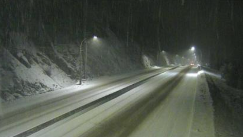
KAMLOOPS — Environment Canada has issued a winter storm warning for the Hope to Merritt section of the Coquihalla highway Friday (Jan. 31).
It says between 25 to 35 centimetres of snow is expected to fall on that section of highway by Saturday morning, with the highest accumulations expected near the summit.
A frontal system moving through the interior will give heavy snowfall today and tonight,” the weather agency said. “Additionally, strong southwesterly winds will develop tonight into Saturday morning giving areas of poor visibility in blowing snow.”
Environment Canada says hazardous winter conditions are expected as the rapidly accumulating snow may make travel difficult over some locations. It also says visibility may be suddenly reduced at times in heavy snow.