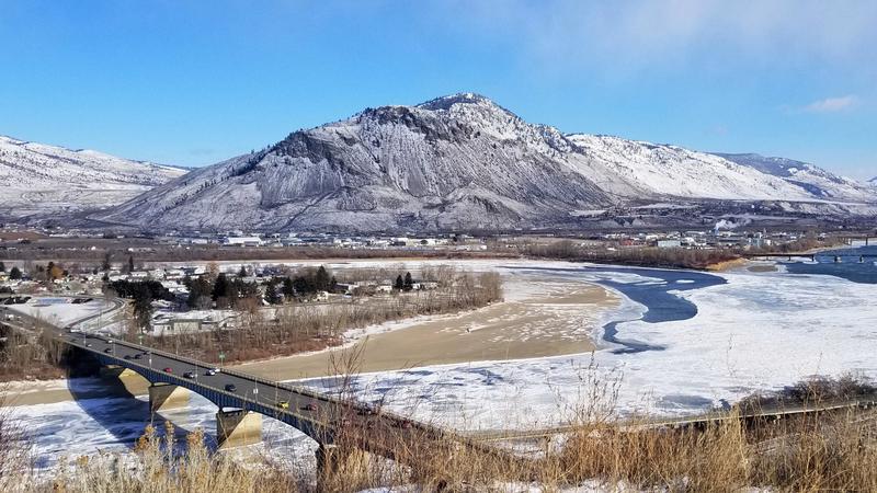
CFJC Today File Photo (Image Credit: Kent Simmonds)
Cold Snap Coming

Kamloops area poised to see double-digit negative temperatures for first time this winter

Jan 17, 2025 | 2:48 PM

KAMLOOPS — Kamloops and area residents will likely get to experience the first true cold snap of this winter as temperatures are expected to drop well below the freezing mark in some cases.

Environment Canada is calling for lows of -7 C Friday and Saturday night, Jan. 17 and 18, with overnight temperatures expected to hit -12 C on Sunday night. The weather agency is also calling for daytime highs of -2 C Saturday, -1 C Sunday, and -5 C on Monday, Jan. 20.

“It’s not drastically cold but its going to feel like four-to-five degrees below normal and some of the coldest temperatures we’ve experienced so far this winter,” meteorologist Lisa Erven told CFJC Today. “Because these are the lowest temperatures so far this season, it is going to feel like quite a drastic shift.”

Ervin said the sudden drop in temperatures may impact vulnerable populations — people working or participating in activities outdoors as well as homeless people — more.

“Those are the populations that are most at risk during this event however, its not extremely cold,” Erven said, referencing the cold snap from January 2024 when a series of extreme cold warnings were issued for the Kamloops-area.

“Yes, we are expecting below normal temperatures but the impactful part of this weather regime is that it’s a pretty big shift from warmer-than-normal temperatures back to winter.”

Data from Environment Canada shows the Kamloops area has yet to record double digit negative temperatures this fall and winter. The coldest temperature recorded was -6.8 C back on Nov. 29.

“Through December and into the first half of January when I look back at some of the temperatures the Kamloops area has experienced, daytime highs were sitting between 2 C to 8 C and overnight lows in between freezing and -5 C ,” Erven said.

Erven says this cold snap is the result of an arctic airmass that will bring below seasonal temperatures to much of British Columbia.

“We are expecting these cooler than normal temperatures through until about the middle of next week,” Erven said.

“Beyond that, the northern half of the province is likely to return to normal. For southern B.C., it looks like the colder temperatures will stick around. I’m not seeing any significant shift to warmer temperatures in the near or long-term forecast.”

Erven says this cold snap isn’t expected to bring any precipitation with it, noting the forecast is looking rather dry until about the middle of next week

“We are under a ridge of high pressure and this arctic front isn’t very robust,” Erven said.

“Sometimes when an arctic front moves through, we can get this burst of snow as it pushes through an area but this time around, the signal is quite weak here in B.C., so we’re not expecting precipitation to accompany that drop in temperatures.”

You can find the latest forecast from Environment Canada here.