Recent snow dump a positive for low snowpack levels in Thompson region
-
Share on Facebook
-
Share on Bluesky
-
Share on X
- Copy Link
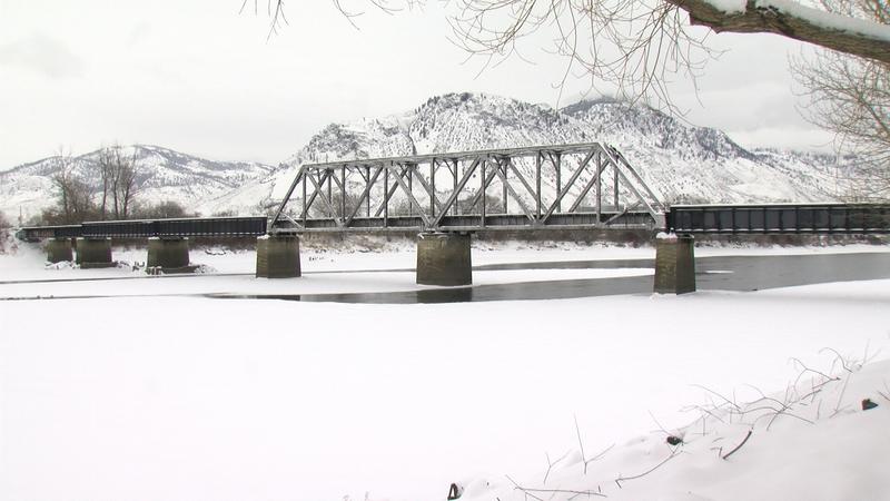
KAMLOOPS — The BC River Forecast Centre says this most recent dump of snow is a good thing for the low snowpack levels, but it hasn’t pulled the region out of ongoing drought potential.
Preliminary data hasn’t been finalized, but hydrologist Natasha Cowie says the storm did bring about 15 to 20 millimetres of snow-water equivalent — which is how much liquid water is contained in the snowpack. Even with the thick blanket of new snow, it hasn’t caught up to the current snowpack deficit.
“The provincial deficit was averaging about 150 millimetres. I just looked [Friday] morning (Jan. 19) at the Thompson River area, and it looks like that may be closer to around 200 millimetres of a deficit there,” explains Cowie. “It’s positive, but we need a lot more to really get back up to normal conditions.”


