Kamloops area’s early taste of winter not expected to stick around
-
Share on Facebook
-
Share on Bluesky
-
Share on X
- Copy Link
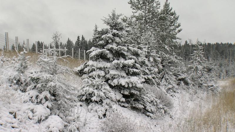
KAMLOOPS — The first real snowfall of the season hit Interior highways on Monday (Oct. 23), with travel advisories put in place for the entire Coquihalla Highway from Hope to Kamloops and the Okanagan connector between Merritt and Kelowna.
Environment Canada is forecasting a shift in what was a relatively mild fall, with overnight lows expected to dip into minus range for the first time this week. While a dusting of snow may have taken some by surprise in late October, Environment Canada is expecting things to stabilize by the weekend.
“We are forecasting that the snow we are seeing [Tuesday] morning to kind of continue through today and into tonight. About 5-to-15 centimetres is possible, depending on the route,” said meteorologist Alyssa Charbonneau. “It does look like we are going dry out as we head into tomorrow and for the next few days, but things are remaining cold. Definitely this isn’t a permanent shift into winter, but a good reminder that here in October, in the shoulder season, but we do need to have those snow tires on the routes.”