Drones being used to assess stability of Shuswap slopes following wildfire season: CSRD
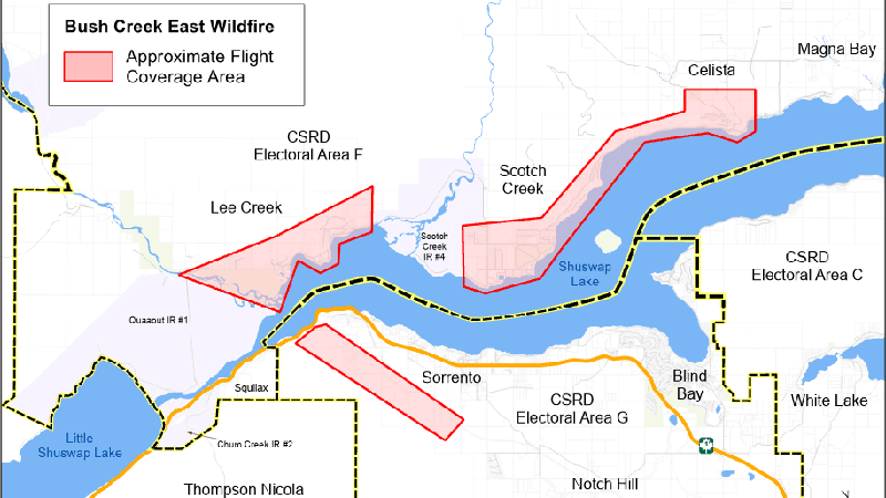
KAMLOOPS — Residents in the North and South Shuswap may notice some drones hovering over their communities over the next week.
In a news release issued Thursday (Oct. 5), the Columbia Shuswap Regional District (CSRD) says that geotechnical assessments via drones from Spexi Geospatial technology company are currently underway.
The CSRD says the drones will capture orthophotographs which will help geotechnical engineers determine the safety and stability of slopes in the area. Currently, the CSRD says a moratorium has been placed on issuing building permits in wildfire-impacted areas until geotechnical engineers have determined the area is safe from potential hazards, including landslides, rockfall, flooding and erosion.
Any Shuswap residents with questions may contact the CSRD at (250) 832-8194.


