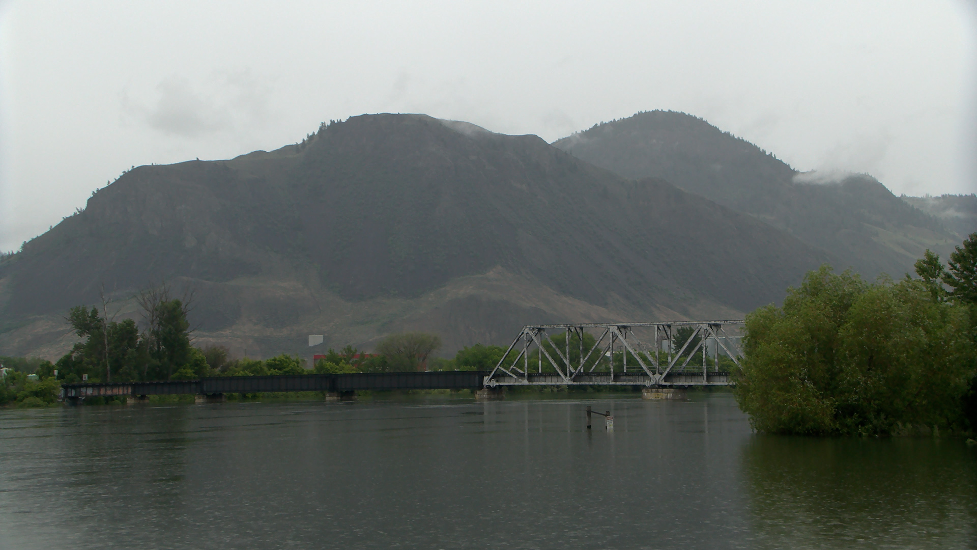
Interior flood risk wanes with peaks already seen on North Thompson, Fraser: province
KAMLOOPS — Flood forecasters for the Ministry of Environment say the flood threat in the B.C. Interior is beginning to subside.
This morning, the B.C. River Forecast Centre dropped or downgraded a series of high water advisories for rivers around Kamloops. This is despite some areas receiving as much as 60 millimetres of rain Tuesday and Wednesday. Forecast Centre head Dave Campbell says hot, dry conditions last week left the soil ready to absorb all of that rain.
“I think that’s been a little bit of the surprise, is that with some of the dry soils we’ve seen with some of that drying out that we’ve had over the last few weeks, we did see a lot of that rain did get sucked up by the soils,” Campbell told CFJC Today. “We’ve been somewhat surprised by the response in the rivers — we’ve seen it much more muted than we would expect for that kind of rainfall.


