File Photo (Image Credit: CFJC Today)
Floods and Fires

Heat anticipated next weekend brings potential for both floods and fires: province

May 8, 2023 | 3:36 PM

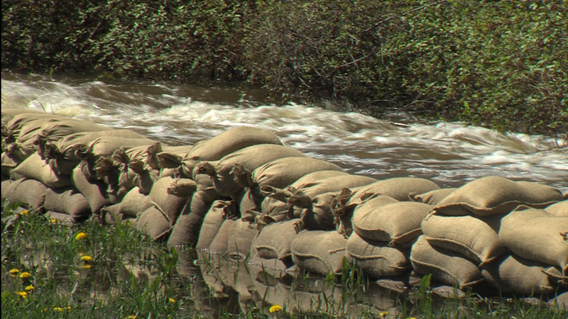
VICTORIA — Flood-weary communities in B.C.’s Interior and North are getting a reprieve during the early portion of this week, but provincial officials are warning of extreme heat causing more problems toward the weekend.

Environment Canada says the rain that fell over the weekend was less than first anticipated, meaning smaller waterways fed by rainfall and mid-elevation snow did not rise significantly.

“What we’re anticipating in the week ahead is a period of stabilization for the rivers that we have been watching, then rising temperatures, which will likely accelerate snowmelt once more,” said Emergency Management and Climate Readiness Minister Bowinn Ma.

As of Monday (May 8), the forecaster is calling for significantly above normal temperatures by the weekend, with highs in Kamloops of 26 degrees Celsius on Friday, 32 on Saturday and 34 on Sunday. The normal high for Kamloops on May 8 is 20 degrees.

“This next period of warming, we’re anticipating an additional round of accelerated snowmelt,” confirmed Dave Campbell, head of the B.C. River Forecast Centre. “We could see another period of elevated flood risk in the province and bringing on, potentially, new areas that have not experienced flooding so far this year — particularly as we start to melt the higher elevation snow and start to bring in runoff into the larger rivers.”

The province has upgraded Guichon Creek in the Merritt area to a flood watch stage as rain and snowmelt combine to create flooding hazards across the Interior. Flows on Guichon Creek and the Bonaparte River are continuing to rise from the weekend rainfall.

The Thompson Nicola Regional District (TNRD) has declared a State of Local Emergency for Electoral Area “M”, to perform proactive flood mitigation for Guichon Creek in the community of Lower Nicola.

A flood warning instituted late last week remains in place for Cache Creek, the Deadman River and the Bonaparte.

However, the threat is easing for other waterways in the Interior.

High streamflow advisories have been ended for the Shuswap region — with the exception of the Salmon River.

Rivers in the Okanagan and Similkameen have been downgraded from flood watch to high streamflow advisory stage.

While the flood danger is waning in some areas, the fire risk is poised to jump with the temperatures late in the week.

“With the less-than-forecast rain that came down over the last number of days, we’re going to see a rebound back into a moderate-to-high fire hazard with the conditions that are forecast for the next week,” said Cliff Chapman with B.C. Wildfire Service.

As of noon on Monday, much of the province showed a very low or low fire danger rating, with some pockets of moderate. The exception is in the northeast corner of B.C., which did not receive the same precipitation amounts seen in the rest of the province. Those portions are already seeing a high fire danger.

Along with the anticipated heat, Environment Canada is also warning of thunderstorm activity further north.

“There is some instability. There’s the potential for some dry lightning in the north and even part of the central part of the province,” said Environment Canada’s Armel Castellan. “We’re talking about multiple hazards happening concurrently and, of course, some fairly significant warmth for this time of year coming up for the weekend and into early next week.”