City freshet update: heavy rain could spike river levels early next week
-
Share on Facebook
-
Share on Bluesky
-
Share on X
- Copy Link
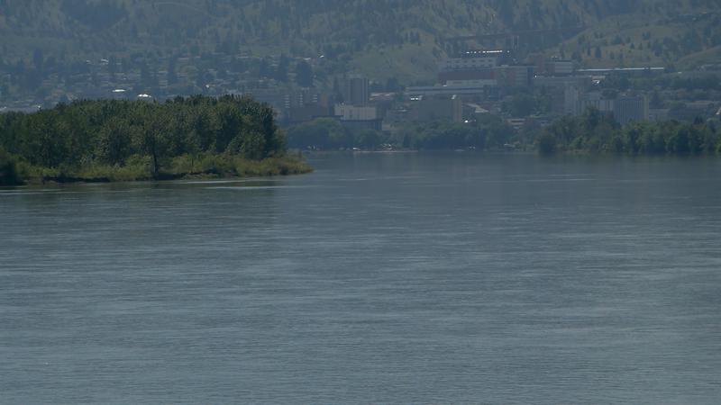
KAMLOOPS — The City of Kamloops remains vigilant when it comes to river levels throughout the city, as the weather forecast for Monday could bring more rain to the region.
According to Greg Wightman, Utility Services Manager for the City, there’s potential for an extreme weather event early next week, in the form of rain.
Environment Canada isn’t quite sure where exactly that system is going to settle at this point, so the city plans to stay on alert.
“We’re seeing a severe event, potentially, into early next week — Monday or Tuesday of next week,” Wightman explains. “Again, not certain where that event is going to hit. Everywhere from Washington up to the Yukon could be in the middle, it could settle over the North or South Thompson. Based on that, the river forecasts are remaining quite drastic into next week. While we do have a bit of reprieve over the weekend here, some nice warm weather, there is the possibility of the rivers spiking again into Monday.”


