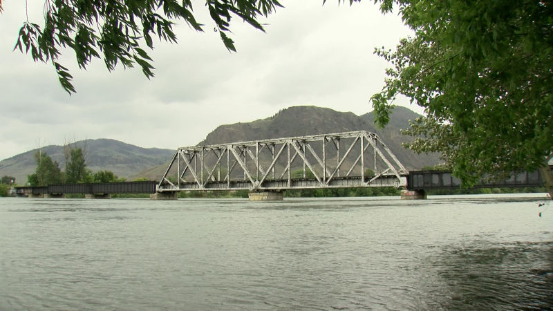
South Thompson River (Image Credit: CFJC Today)
FRESHET

Possibility of severe weather to decide Kamloops’ flood fate

Jun 17, 2022 | 4:17 PM

KAMLOOPS — The B.C. River Forecast Centre has released its final snowpack report of the season. The provincial flood forecasting agency says the melt is two-to-four weeks behind schedule this year, thanks to cool weather throughout the spring. That has led to an average snowpack for June 15 across B.C. of 198 per cent of normal.

“We are very much in the middle of the snowmelt, freshet season. This is the time of the year when the province is exposed to increased risk,” said Dave Campbell, hydrologist with the River Forecast Centre.

As the summer solstice approaches, snow remains in the higher elevations, stoking fear of potential late spring or summer flooding across the Interior.

Earlier this week, the City of Kamloops’ Greg Wightman suggested the North Thompson river could reach it’s peak next week. Campbell wasn’t as eager to make that prediction today.

“I do expect that we are in that period of high flows and we are certainly vulnerable to additional rises if we get adverse weather over the next week or two. I don’t think we are at a point where we can say we are at a peak for this year,” stated Campbell.

In the North Thompson basin, snowpack is at 232 per cent of normal for June 15. The South Thompson basin is lower, but still nearly twice as high as normal for this time of year at 186 per cent.

“It really is the rainfall side of things. We are seeing quite a lot of precipitation potential and that could include areas in the Thompson, particularly the North Thompson. We are watching for that; we aren’t seeing that on our forecast right now as a key risk,” added Campbell.

The current forecast has Kamloops with unsettled conditions for the next few days, leaving the biggest concern for Kamloops residents an extreme weather event over the next couple weeks.

“We are not really gunning for any severe convection in that next few days. The precipitation numbers look to be relatively manageable. Anywhere from 5 to 10 mm at the very most,” said Matt Loney, Environment Canada Meteorologist.

Usually by this time, 75 per cent of the snowpack has melted, this year that number is closer to 50 per cent. Enviroment Canada is expecting a drier and warmer trend to enter the region as we approach July.

“This is looking at July as a whole, we can see that the probabilities are a little bit above average for the Interior of B.C. — kind of Kamloops north,” stated Armel Castellan, Environment Canada.

The City of Kamloops has planned its next freshet update for early next week.