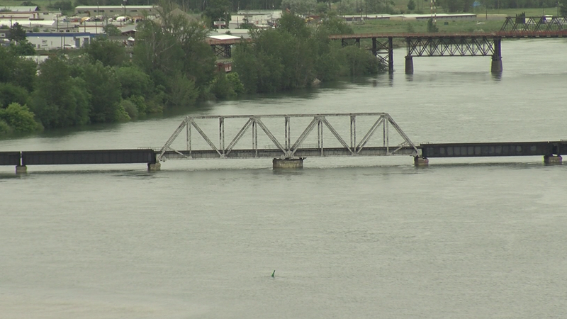
The South Thompson River level as of June 13, 2022. Image Credit: Kent Simmonds / CFJC Today
PRECIPITATION IN THE FORECAST
Environment Canada monitoring Kamloops rainfall levels over next 72 hours
Jun 13, 2022 | 5:10 PM
-
Share on Facebook
-
Share on Bluesky
-
Share on X
- Copy Link
KAMLOOPS — Extreme weather events are some of the key factors that could tip the scales in terms of how severe this year’s flooding could be. Kamloops is expecting rainfall in the coming days, but it’s not likely to be a large amount.
With delayed snowmelt conditions creating particular concern around flooding, Environment Canada Senior Meteorologist Matt Loney says there are a couple of wet, unstable systems that they’re watching over the next 72 hours.
“If you took out any concerns of flooding, if all of that was pushed to the side and you didn’t know about that, there would be nothing extreme about what we’re about to encounter weather-wise,” he explains. “Like it’s just a normal, what we call — an upper low pattern.”


