Colder spring could foreshadow significant flooding in Thompson: Environment Canada
-
Share on Facebook
-
Share on Bluesky
-
Share on X
- Copy Link
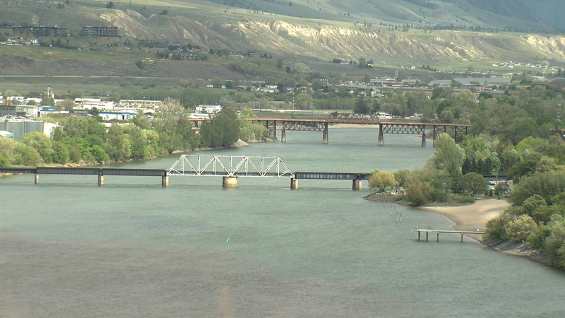
KAMLOOPS — Environment Canada says the cooler temperatures — as much as 10 degrees below seasonal normals in Kamloops — have delayed some of the snow melt in higher elevations.
“Increase in overall snow at-elevation in percentages says a lot about how the spring has progressed. So usually we’ll usually see the peak [of snowmelt] on April 1 and then things start to crest and start to drop,” said Environment Canada meteorologist Armel Castellan. “For the mid-elevations that might be true because it is warm enough for overnight temperatures to be above zero, but at elevation we’ve seen additional snow if anything.”
It means there is still a significant snowpack waiting to be melted and flow into the Thompson Rivers. As of May 1, the snowpack impacting the North Thompson was at 128 per cent of normal — the highest at this time of year since 1999 — a significant flood season. The South Thompson was at 107 per cent.
Environment Canada says there is more snow accumulating than melting, adding to flood concerns. The Coquihalla Highway received 10 centimetres on Wednesday.


