Image Credit: Adam Donnelly / CFJC Today
FEW APRIL SHOWERS, FEW MAY FLOWERS
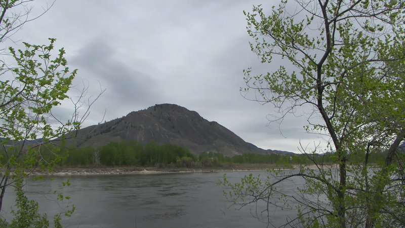
Kamloops area saw below average precipitation and temperatures for month of April
May 4, 2022 | 4:02 PM
-
Share on Facebook
-
Share on Bluesky
-
Share on X
- Copy Link
KAMLOOPS — If you thought the month of April felt cooler than normal, you are correct. Monthly data collected by Environment Canada shows Kamloops experienced a colder than average April and the region also had far less rainfall.
Environment Canada Meteorologist Armel Castellan says April was the 11th-coolest month on record for Kamloops. And the area only saw 3mm of precipitation, compared to the average amount of 14 mm.
“Of course, there were days in the middle of the month when you had record minimum temperatures,” says Castellan. “Minus 4.5C and minus 5.5C on the 11th and the 16th (of April). Those probably stand out as being pretty cool individual days as well.”


