Image Credit: Kent Simmonds / CFJC Today
PLANNING FOR SPRING

TNRD factoring in previous wildfire, flooding damage with upcoming snowmelt monitoring

Feb 11, 2022 | 4:06 PM

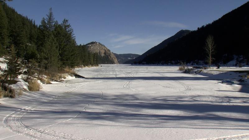
KAMLOOPS — Emergency preparedness within the Thompson-Nicola Regional District is a year-round practice. Ahead of late spring freshet season, officials are keeping a watchful eye on areas previously damaged by summer wildfires and November’s atmospheric river event.

“Even before the atmospheric river, we knew just given the extent of the wildfires from 2021 that they’ve just so fundamentally changed those ecosystems in terms of how water runs off, how much moisture the water can absorb at one time,” explains TNRD Emergency Program Coordinator Kevin Skrepnek.

Snowpack readings from the BC River Forecast Centre show the provincial average is around 110 per cent of normal. Hydrologist Jonathan Boyd notes there are a few areas in the Interior of BC that are even higher.

“There are some pretty substantial snowpacks in areas such as the Upper Columbia and areas of the west and east Kootenays, and also even in the Upper Fraser east and North Thompson as well.”

However, it’s early in the season.

Skrepnek says snowpack reports that come out in March and April typically give a better indication of how the spring could go.

“Even if we have a high snowpack, if it melts in an orderly way and it comes off steady — that’s the ideal situation. If we have a hot spell where it all melts at once, or if we have a rain on snow event not unlike what we had with the atmospheric river event in November, that’s when things become more of a concern.”

The TNRD is also geographically diverse. Freshet causes concern in April and May for areas such as Cache Creek, while smaller streams would notice a quick impact after an intense rainfall, and other areas would be looking at broader flooding later in the season.

“The concern with an area like Kamloops is when the North Thompson and the South Thompson are both high,” notes Boyd, “And you get the convergence there of the two rivers at Kamloops.”

With several waterways impacted by November flooding, and forests burned by fires, this year the TNRD does have a few additional factors to consider when looking at snowmelt potential. But Skrepnek reiterates there more information to gather in the coming weeks before they can better determine how the spring freshet will play out.

“We haven’t seen anything in terms of the snowpack that’s of huge concern to us as of yet. But it is incredibly early and so much of it is going to hinge on that short term weather.”