Mid-October snowfall in Kamloops not expected to stick around
-
Share on Facebook
-
Share on Bluesky
-
Share on X
- Copy Link
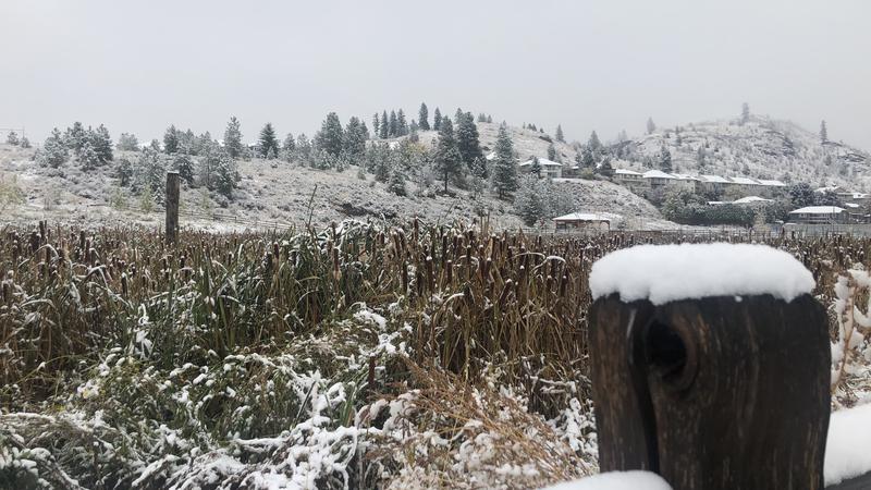
KAMLOOPS — Many residents awoke to a dusting of snow through the hills of Kamloops this morning (Oct. 18), but the fall time flakes are not expected to last much longer.
Environment Canada Meteorologist Mike Gismondi says some of the snowfall expected on the higher mountain highways made its way into the city on Sunday.
“Certainly sort of an early start to winter, but nothing too unusual. We have a system moving through the coast this morning and some rain for the Kamloops area,” he explains, “But the snow level is fairly low – hanging around 600m. So we’re seeing some snow in higher elevations – small accumulations there.”
The snow won’t last, as Gismondi says slightly warmer temperatures will likely melt off the remaining flakes and turn to rainfall by this evening.


