(Image Credit: Drive BC)
STRONG WINDS, AND FLURRIES
Cold front brings special weather statements for South Thompson region, and Coquihalla Highway
May 2, 2020 | 10:46 AM
-
Share on Facebook
-
Share on Bluesky
-
Share on X
- Copy Link
KAMLOOPS — Due to an incoming cold front, Environment Canada has issued multiple special weather statements today (May 2) for the southern Interior, South Thompson, Shuswap, and Fraser Canyon regions.
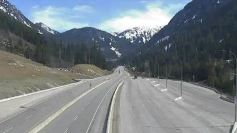
A special weather statement is in effect for the Hope to Merritt section of the Coquihalla Highway today heading into the evening, with possible flurries.
The forecaster says a vigorous cold front will pass through the southern Interior tonight, with rain changing to flurries in higher elevations.
With that, 5-10 cm of snow is possible for high sections of the Coquihalla Highway. Elsewhere, 2-5 cm is likely to fall along the Okanagan Connector near Pennask Summit, and parts of Highway 3.