CFJC Today recognizes National Day for Truth and Reconciliation
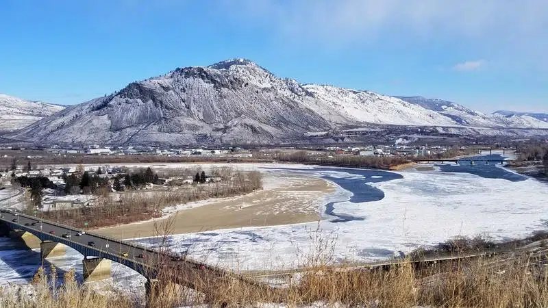
File photo courtesy of Kent Simmonds
WARM WEEK TO COME

Warmer days to follow light snowfall in Kamloops

Feb 23, 2020 | 2:00 PM

KAMLOOPS — After about 2 cm of snow came down this morning, Environment Canada says the rest of the work week in Kamloops is shaping up to be snow-free.

There is a chance of flurries tonight, and tomorrow morning, however Meteorologist Lisa Ervin says a cold front passing through the area is winding up, so the bulk of precipitation is finished.

From Monday morning at 10am:

“In terms of the forecast going forward – slight chance of flurries for Monday morning, but otherwise we’re looking towards basically a mix of sun and cloud through the work week,” she says, “We have a ridge of high pressure that’s building in behind this low pressure system, but because we’ve got some intense weather systems impacting coastal BC, we’re going to see some spill over of clouds.”

The temperatures are expected to climb up slightly as well, according to Ervin, who says Thursday and Friday highs will be in the double digits at 10 and 12 degrees.

Ervin adds the snowfall, and temperatures the area has experienced recently are pretty standard for February.

“Still plenty of winter left to go. So I wouldn’t put away those snow shovels yet because we still have at least another month where we could see more storms coming in,” she explains, “But we’ll have to just track each system as it comes in and the temperatures that are associated with it to determine whether it’ll be snow or rain.”

View Comments