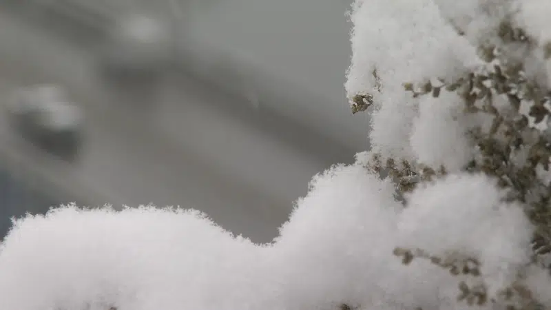
Image Credit: CFJC Today
Snowy Week

Environment Canada calls for snow beginning Tuesday, lasting most of the week

Feb 3, 2020 | 4:44 PM

KAMLOOPS — Environment Canada says more snow is on its way to the Interior, and we have the Gulf of Alaska to thank.

According to forecaster Bobby Sekhon, that’s the origin of the system that will affect Kamloops for much of the week.

“[Tuesday], we’ll see periods of snow beginning in the morning and we’ll see two to four centimetres during the day. It will continue snowing Tuesday night, with another two to four centimetres, and then that active pattern continues into Wednesday.”

The temperature may warm up mid-week, and Sekhon says it will be interesting to see whether the precipitation stays as snow or mixes with rain.

“Things will be getting slightly warmer, so you might see a transition where we mix into rain or snow,” said Sekhon. “But nonetheless, still a few centimetres of snow will be possible on Wednesday, too.”

“This time of year, when you do get some thaw during the day and then freezing overnight, that can make for some slippery conditions,” he continued. “People should watch out when they’re driving, make sure you have your winter tires on. Also, anybody who’s walking, just be careful on the sidewalks.”

Those who enjoyed Monday’s sunshine are most likely to see a return on Friday.

“We do have some of the precipitation in the forecast right through to Thursday night, and then as we get into Friday and Saturday, it looks like a lot drier outlook,” noted Sekhon. “So Wednesday, Thursday, it’s going to be a matter of, do we get that transition to rain or does it stay as snow? That’s going to be the tricky part of the forecast, for sure.”