Frontal system results in snowfall warning for Cariboo, snow expected in Shuswap
-
Share on Facebook
-
Share on Bluesky
-
Share on X
- Copy Link
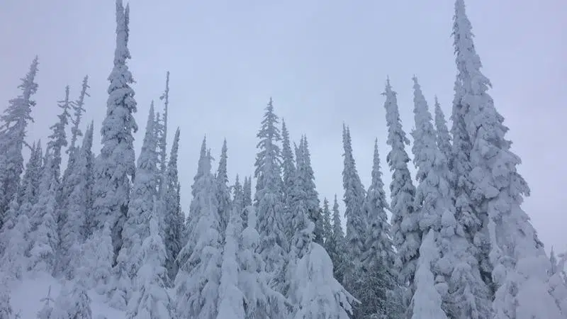
KAMLOOPS — Environment Canada has issued a snowfall warning for the Cariboo and Prince George areas with 10 or more centimetres of snow expected to fall in the Central Interior today.
“We could see upwards of anywhere from 10 centimetres today and more snow even in through this evening before that front finally pushes north of the area,” says forecaster Lisa Erven.
The system is also expected to affect areas east of Kamloops.
“For the most part, Kamloops won’t see much out of this system at all,” said Erven. “But further to the east, particularly around the Sicamous area and then heading further east into Revelstoke, we have anywhere from about five centimetres today and another five expected for this evening before that snow kind of tapers off a little bit.”


