10 cm to 15 cm expected
UPDATE: Snowfall Warning Ended
Nov 11, 2019 | 8:38 PM
-
Share on Facebook
-
Share on Bluesky
-
Share on X
- Copy Link
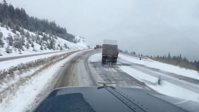
KAMLOOPS — UPDATE: The first significant snowfall of the year made roads a treacherous mess this morning – inside and outside of the City of Kamloops.
Environment Canada has now ended its previous snowfall and freezing rain warnings for the B.C. Interior.
Forecaster Doug Lundquist says flurries are beginning to taper off and showers are expected later today as temperatures increase to a high of plus-5.
EARLIER: Environment Canada issued a Snowfall Warning for the South Thompson region Monday night.


